Finch, James Kip, 1883- · New York : John Wiley & Sons, Inc. · leaf 41
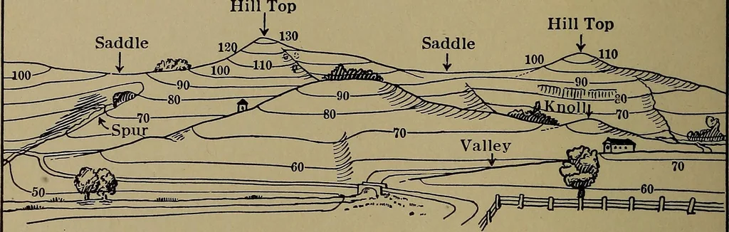
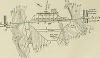
d terminating at thetop in a point). Base is six inches square and height six inches. 2. Fig. 9a shows an island consisting of a hill of simple rounding form witha varying slope. The hill is 6| inches high and 10 inches long. Fig. 96 shows another island consisting of two connected hills of… … ^RDS EYE VIEW SHOWING CONTOURS
Cartography · Military maps
Internet Archive · Library of Congress · Public Domain Mark 1.0. Free to use for anything.