Finch, James Kip, 1883- · New York : John Wiley & Sons, Inc. · leaf 43
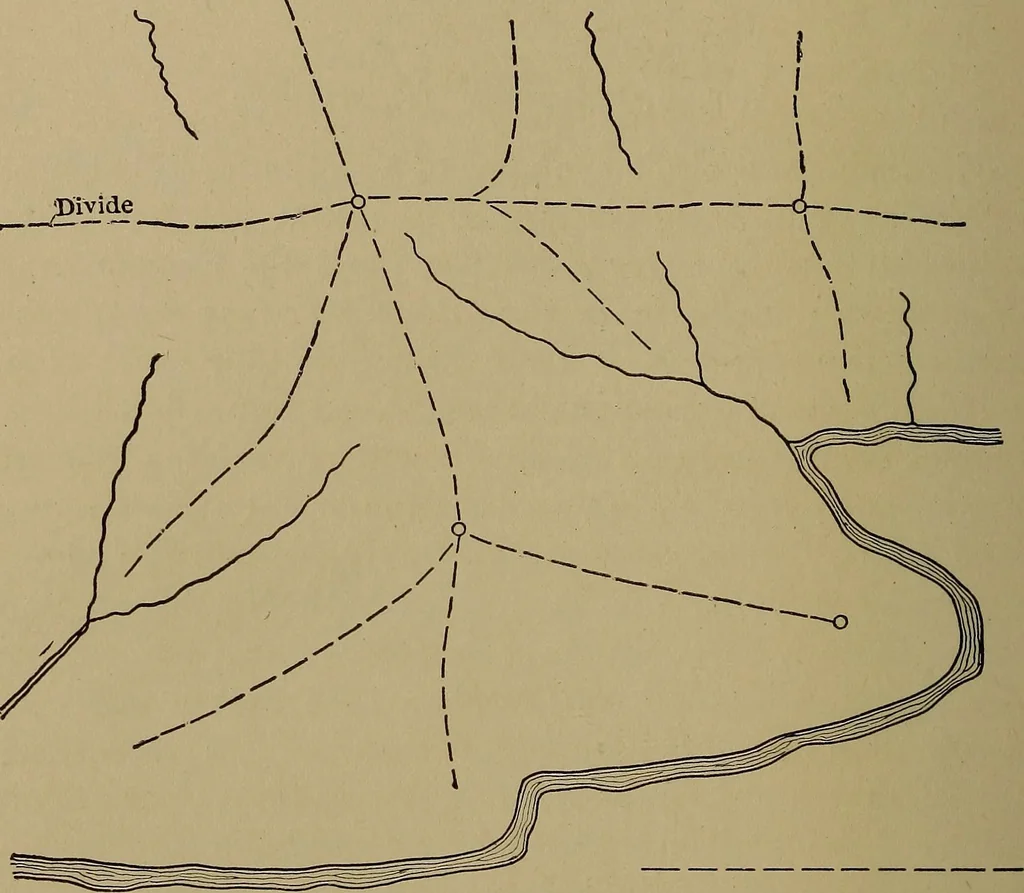
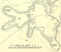
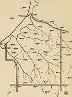
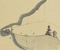
map from the hilltops. In con-nection with the lines of the divide and these ridge lines itwill be noticed that they are higher in certain places thanin others. The high points are hill tops and the sags areknown as saddles, or cols. Fig. 11 shows the relation of the drainage and ridge linesfor the… … Fig. 11.—Relation of Drainage and Ridge Lines.
Cartography · Military maps
Internet Archive · Library of Congress · Public Domain Mark 1.0. Free to use for anything.