Finch, James Kip, 1883- · New York : John Wiley & Sons, Inc. · leaf 45
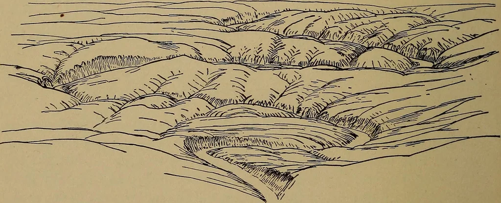
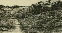
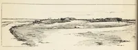
he exact heights of hill-tops. We can estimate the height of any point from thecontours, but the exact height of an important hilltop, whengiven on a contour map, is shown by a spot height as on ahachure map. For example, the elevation of the peak belowand to the left of Piney Point is given as… … By F. K. Morris.Fig. 13a.—Birdseye View of Country shown by Map, Fig. 13. & Also it must be less than 140, as the V. I. is 10 feet and no 140contour appears. The best estimate would probably be 135feet. A rough profile of the hill, such as is described later,will frequently lead to a closer…
Cartography · Military maps
Internet Archive · Library of Congress · Public Domain Mark 1.0. Free to use for anything.