Finch, James Kip, 1883- · New York : John Wiley & Sons, Inc. · leaf 59
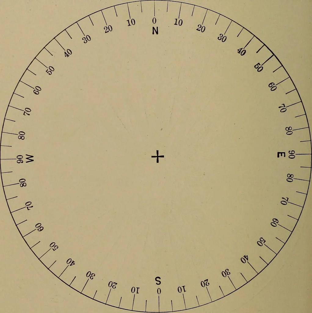
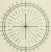
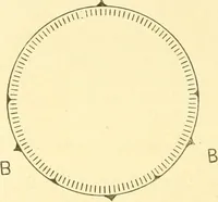
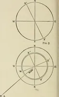
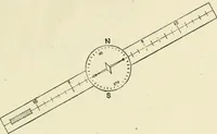
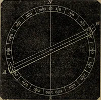
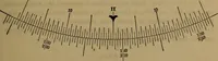
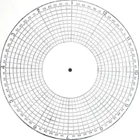
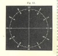
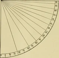
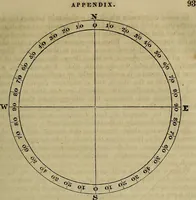
the East.Another method of stating the direction is shown in (c).This is known as the azimuth method and the circumferenceis divided from 0 to 360°. The zero point, or zero azimuth, 40 WHAT A TOPOGRAPHIC MAP SHOWS in surveying, is usually taken as North, but in astronomicalwork azimuths are… … Fig. 21 b.—Surveyors Compass Method. is simplythree methods Mh0> The following comparison illustrates the Mariner NNESEby S wsw NW Surveyor N M\° ES 83$° ES 67J° W N45° W Azimuth 146f°147±°315° DIRECTION 41 To obtain the direction of a point B from a point A on amap place a piece of tracing…
Cartography · Military maps
Internet Archive · Library of Congress · Public Domain Mark 1.0. Free to use for anything.