Finch, James Kip, 1883- · New York : John Wiley & Sons, Inc. · leaf 66
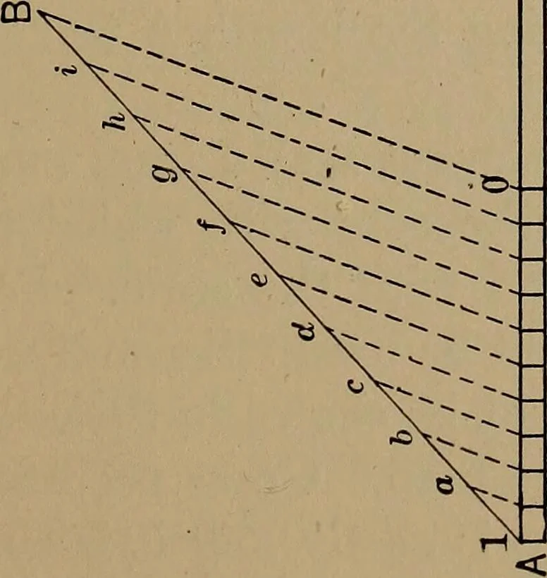
he map. Distances in a straight line are required in taking frommaps ranges for artillery fire, etc. More common problems,however, require distances between two points along a road.For example, what is the distance by road between Hansroteand Magnolia, Fig. 13? This is obtained by transferringto a… … (*—}(- V_ O — £ a c T3 ^J .2 t- 0) 3 — j t-H 5b •4-> CO aoU — a 1 i ■* l »< — d u £ 48 WHAT A TOPOGRAPHIC MAP SHOWS a railroad, canal or stream we have to arbitrarily divide thetotal distance into a series of short lengths which we con-sider as straight. A special measuring wheel is made…
Cartography · Military maps
Internet Archive · Library of Congress · Public Domain Mark 1.0. Free to use for anything.