A treatise on surveying and navigation: uniting the theoretical, practical, and educational features of these subjects (1857)
Robinson, Horatio N[elson], 1806-1867. [from old catalog] · Cincinnati, J. Ernst; Toledo, Anderson, Burr, & co. · leaf 184
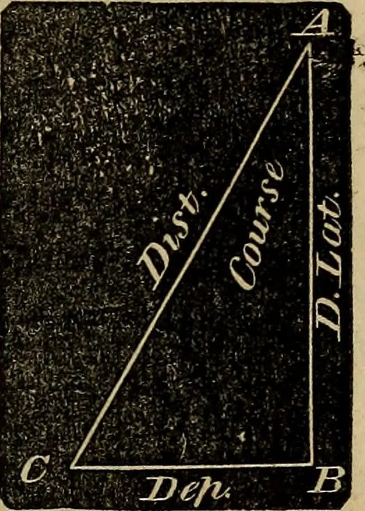
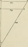
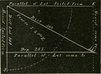
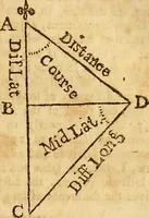
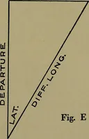
ion of any case inplane sailing, the difference of latitude will be represented by a ver-tical line, the departure by a horizontal one, and the distance by thehypotenusal line, which forms, with the difference of latitude anddeparture, a right-angled triangle ; and the course will be the… … EXAMPLES. If a ship sail from Cape St. Vincent, Portugal (Lat. 37° 2 54north), S. W. j S. 148 miles ; required her latitude in, and thedeparture which she has made ? Bij Construction. — Draw the vertical line AB, to representthe meridian ; from the point A, make theangle BAC=S^ points, the given…
Surveying · Navigation
Internet Archive · Library of Congress · Public Domain Mark 1.0. Free to use for anything.