A treatise on surveying and navigation: uniting the theoretical, practical, and educational features of these subjects (1857)
Robinson, Horatio N[elson], 1806-1867. [from old catalog] · Cincinnati, J. Ernst; Toledo, Anderson, Burr, & co. · leaf 198
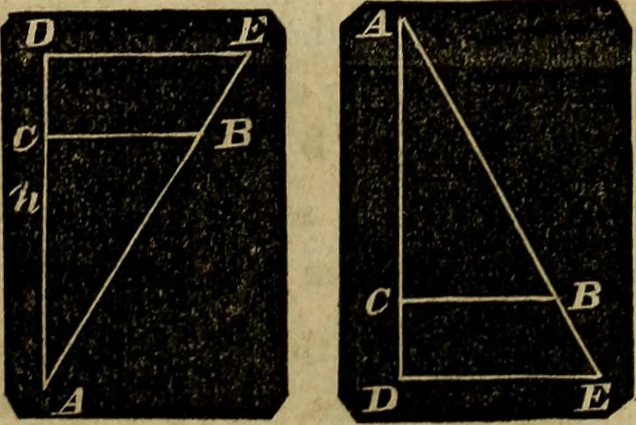
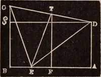
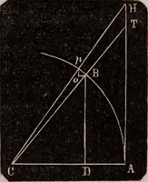
- nat. sec. 3Mer. pts. of 4= nat. sec. l-f- nat. sec. 2+ nat. sec. 3+ nat. sec. 4, &c, &c.In this manner the table of meridional parts was originally con-structed. It is Table IV of this work. The following figures represent any problem than can arise inMercators sailing. A C represents the… … 196 NAVIGATION. AB represents the distance.A, the angle at Ay represents the course.Three of these six quantities must be given to solve a problem.Observe that the difference of longitude DE is always greaterthan the departure CB, as it ought to be. EXAMPLES. 1. A ship from Cape Finisterre, in lat.…
Surveying · Navigation
Internet Archive · Library of Congress · Public Domain Mark 1.0. Free to use for anything.