Wentworth, G. A. (George Albert), 1835-1906 · Boston, Ginn & company · leaf 260
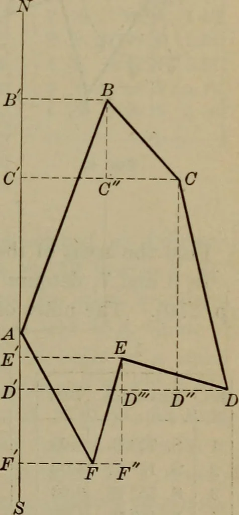
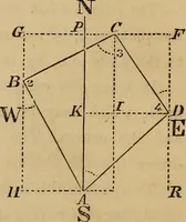
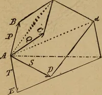
endicularto NS and lay off BB, the first easting,= 2.96. Draw AB; then the line A Brepresents the first side of the field.Through B draw BC perpendicularto BB, and make BC = 1.71, the firstsouthing. Through C draw CCperpendicular to BC, and equal to4.70, the second easting. Draw BC.The line BC… … Fig. 41 This is a 272 SURVEYING By drawing AC, AE, and EC, the hexagonal figureABCDEFA is divided into triangles, the bases and altitudesof which may be measured and the area computed approxi-mately. Another method is as follows:Draw MN (Fig. 42) to represent ameridian. Let the point A in thisline…
Trigonometry · Surveying · Navigation
Internet Archive · Library of Congress · Public Domain Mark 1.0. Free to use for anything.