Wentworth, G. A. (George Albert), 1835-1906 · Boston, Ginn & company · leaf 308
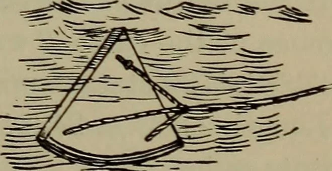
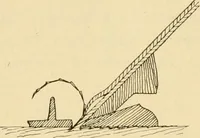
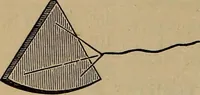
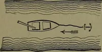
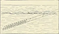
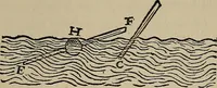
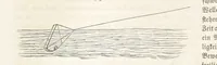
. (54° E. 14 Required 0 pts. 6°0E. 20° OW. N. 44° W. 15 N. 65° W. 0 pts.0 pts. 10°0/E. 3°0E. RequiredRequired 16 S. 15° W. 6°0W. 18°0E. 17 S. 18° E. 0 pts. 25°0/E. 10°0E. Required 18 N. 30° E. S. by W. H Pts- 12°0,E. 10° OW. Required SECTION VIIITHE LOG The rate at which a vessel movesthrough the… … Fig. 5 320 NAVIGATION a sector, of about 5 inches radius, having its arc loaded withlead to make it float in an upright position, so that the vertexshall be just above the water. The Log Line, to which the log-chip is attached by threestrings, is an ordinary cord about 150 fathoms long. Thestray…
Trigonometry · Surveying · Navigation
Internet Archive · Library of Congress · Public Domain Mark 1.0. Free to use for anything.