Wentworth, G. A. (George Albert), 1835-1906 · Boston, Ginn & company · leaf 339
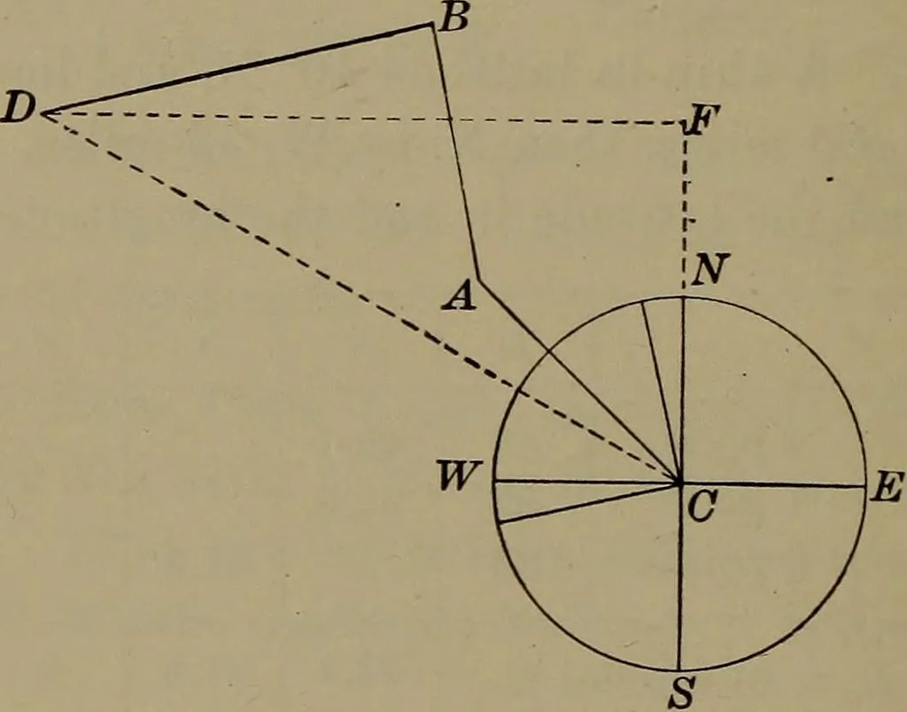
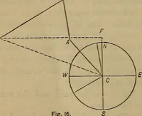
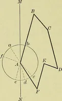
Courses Let C (Fig. 24) be the centre of a circle representing thecard of the compass. Draw CA, N.W. from C, equal to 60,to any convenient scale. Make an edge of a pair of parallelrulers coincide with the N. by W. rhumb of the compassdiagram, extend until the other edge embraces A, and drawAB equal… … Fig. 24 Upon CN produced let fall the perpendicular DF. Then,CF represents the total difference of latitude, CD the distancemade good, and DCF the course made good. The departure may be regarded as measured on the paralleli(L + L). Example 2. The U.S. steamer Swatara left latitude 37° 25K and…
Trigonometry · Surveying · Navigation
Internet Archive · Library of Congress · Public Domain Mark 1.0. Free to use for anything.