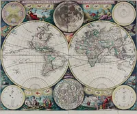
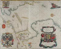
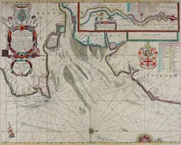
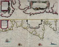
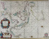
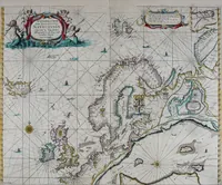
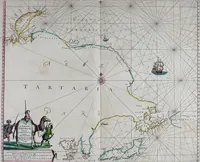
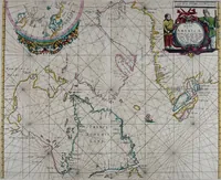
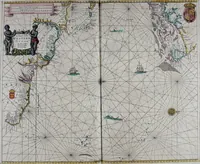
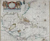
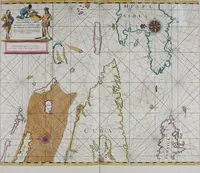
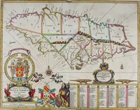
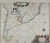
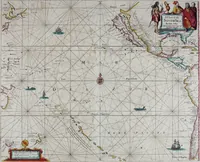
Atlas maritimus, or A book of charts : Describeing the sea coasts capes headlands sands shoals rocks and dangers the bayes roads harbors rivers and ports, in most of the knowne parts of the world. With the true courses and distances, from one place to another : Gathered from the latest and best discoveryes, that have bin made by divers able and experienced navigators of our English nation : Accomodated with an hydrographicall description of the whole world
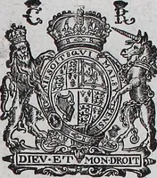
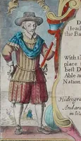
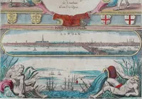
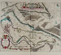
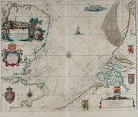
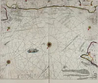
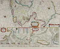
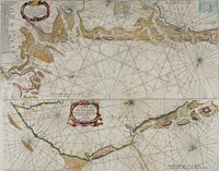
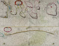
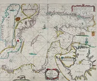
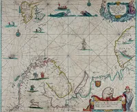
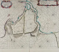
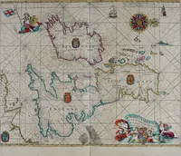
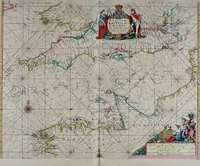
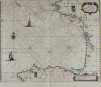
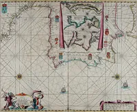
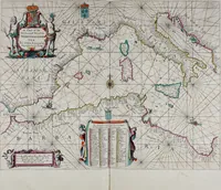
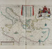
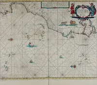
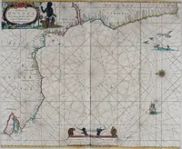
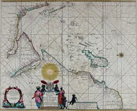
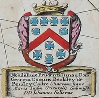
A sea atlas of engraved nautical charts compiled by John Seller, hydrographer, and sold in London from 1672 to English navigators and merchants. Charts show coastlines with rhumb-line webs, compass roses, sounding figures and sandbanks, plus hand-coloured cartouches carried by figures, ships under sail, sea monsters and royal arms, useful for borders, lettering panels and line-engraved ornament.