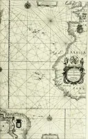
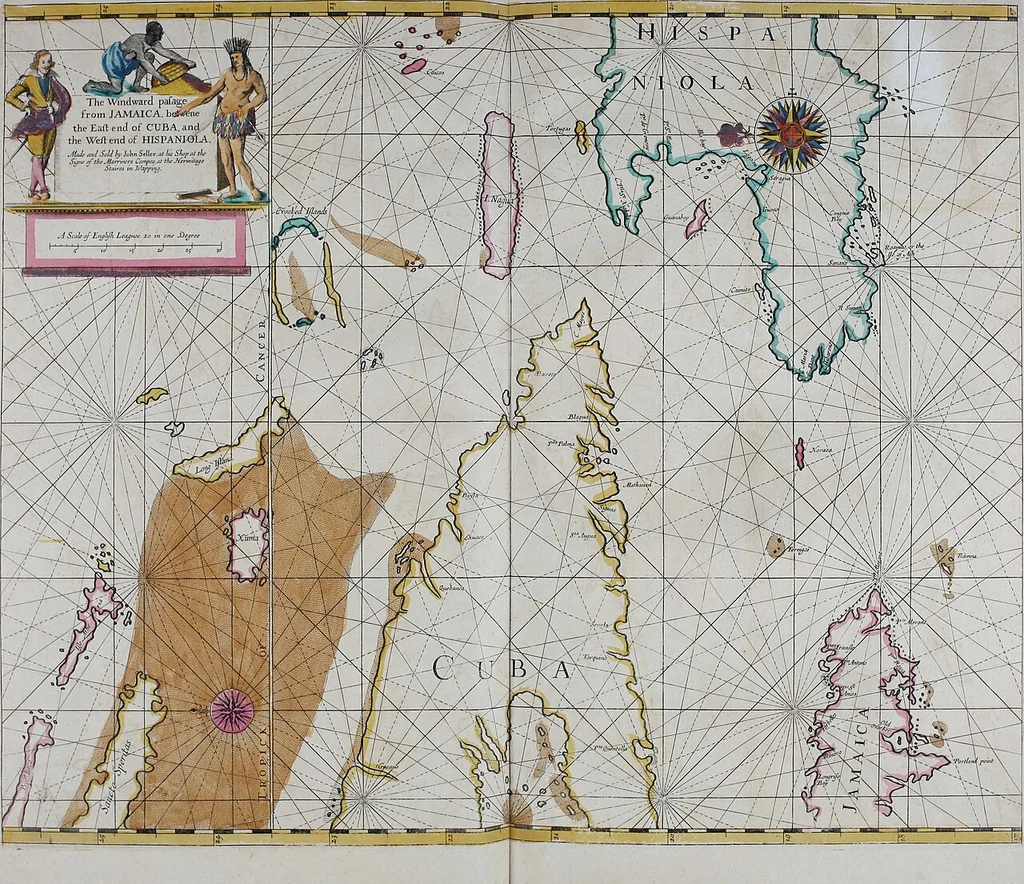
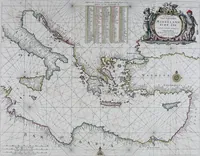
Atlas maritimus, or A book of charts : Describeing the sea coasts capes headlands sands shoals rocks and dangers the bayes roads harbors rivers and ports, in most of the knowne parts of the world. With the true courses and distances, from one place to another : Gathered from the latest and best discoveryes, that have bin made by divers able and experienced navigators of our English nation : Accomodated with an hydrographicall description of the whole world (1672)
Seller, John, fl. 1658-1698 · (London) : And are to be sold by him, at the Hermitage Staires in Wapping and at his shop in the Exchange Alley near the Royall Exchange in London · leaf 88
31 indfuarh yau aqofrom JotniCllCCt Based on the handwritten Table of Contents, an inventory in September 2005 determinedthat the following maps were missing from this volume: Map 28 (New Jersey) Map 30 (West Indies from Cape Cod to River Oronoque) With the maps that were recovered from the Forbes…
Hydrographic surveying · Nautical charts
Internet Archive Book Images · Boston Public Library · No known copyright restrictions (public domain). Free to use for anything.
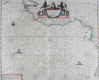
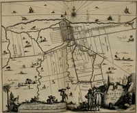
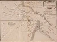
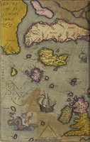
![An illustration from Le theatre du monde, ou, Nouuel atlas [cartographic material] (1650)](https://img.insideoutlibrary.com/img/200/ia-letheatredumonde00blae-364-326.webp)
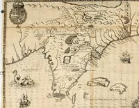
![An illustration from Le theatre du monde, ou, Nouuel atlas [cartographic material] (1650)](https://img.insideoutlibrary.com/img/200/ia-letheatredumonde00blae-304-280.webp)