Elements of military sketching and map reading
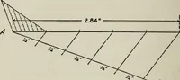
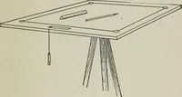
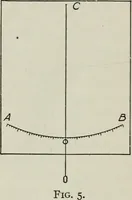
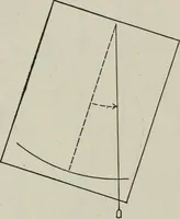
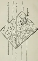
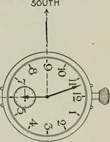
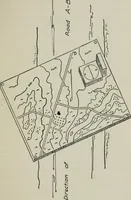
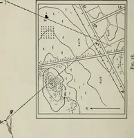
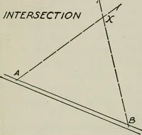
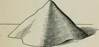
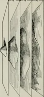
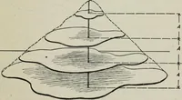
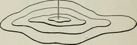
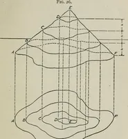
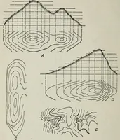
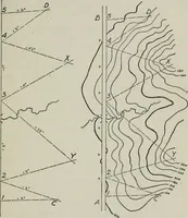
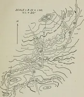
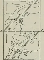
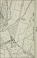
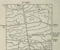
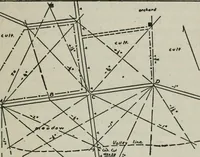
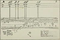
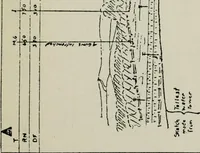
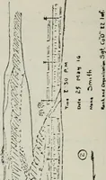
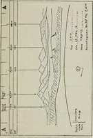
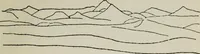
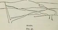
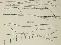
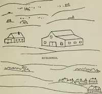
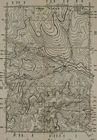
A 1917 field manual on military topography and map reading by John Bryson Barnes, issued by D. Van Nostrand in New York for army officers and cadets learning to sketch terrain and read contour maps. The plates are pen-and-ink instructional diagrams: contour lines, traverse and triangulation layouts, panoramic position sketches with range figures and hand lettering, offering designers line-only topography, surveying geometry, and annotated map notation.