Maps and survey
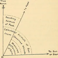
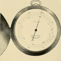
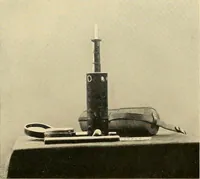
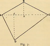
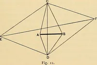
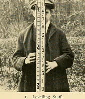
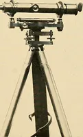
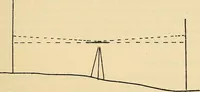
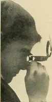
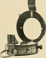
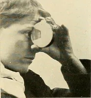
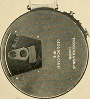
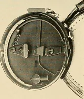
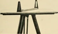
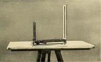
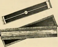
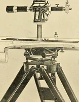
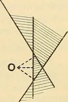
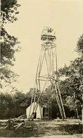
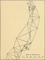
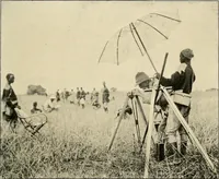
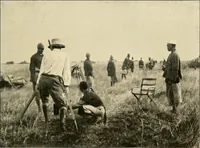
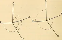
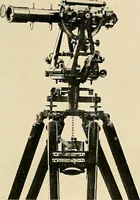
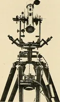
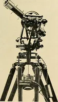
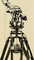
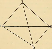
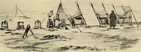
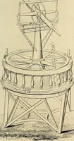
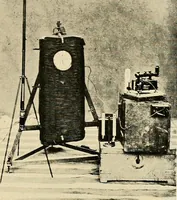
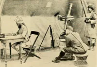
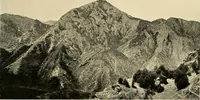
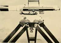
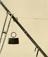
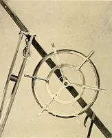
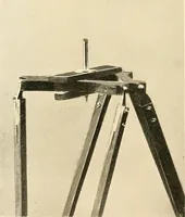
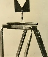
A technical handbook on cartography and field surveying by Arthur R. Hinks, published by Cambridge University Press in 1913 for surveyors, geographers and students. Halftone photographs show theodolites, levels and tripod heads isolated against pale grounds, alongside spare line diagrams of sight lines, staff readings and map projections that reduce instruments and terrain to a few ruled strokes.