Topographic surveying; including geographic, exploratory, and military mapping, with hints on camping, emergency surgery, and photography
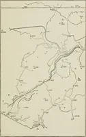
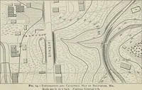
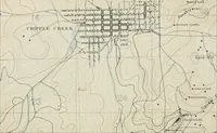
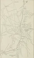
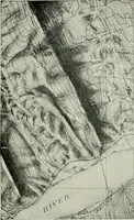
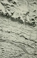
A technical manual on topographic surveying by Herbert M. Wilson, published by John Wiley in New York in 1905 for field surveyors, engineers, and military mappers. The plates are maps and map-drawing specimens: sketch traverses with camp stations and river courses, contour sheets dense with spot elevations, hachured pen relief, and photographs of shaded relief models along the Hudson.