Topographic surveying; including geographic, exploratory, and military mapping, with hints on camping, emergency surgery, and photography (1905)
Wilson, Herbert Michael, 1860-1920 · New York : J. Wiley · leaf 107
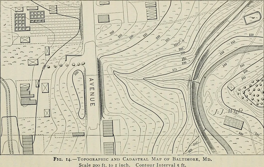
tal circles reading with verniers to 30seconds were employed. All notes, as rapidly as obtained bymeasurement and by angulation, were plotted with an 8inch protractor (Art. 89) and boxwood scale on the fielddrawing-board. Previously there had been plotted on thefield sheets the primary… … COST OF LARGE-SCALE TOPOGRAPHIC SURVEYS. ^7 area of topographic survey was 32.2 square miles, in whichthere were located 213 miles of streets and alleys, 1147 pre-cise points were occupied, 2320 stadia stations occupied, and134,209 sights were taken, the average being 10 per acre. 28. Cost of…