Application of Coding Methods in Development of Symbology for a Computer-Generated Topographic Display for Army Aviators (1982)
Defense Technical Information Center · leaf 52
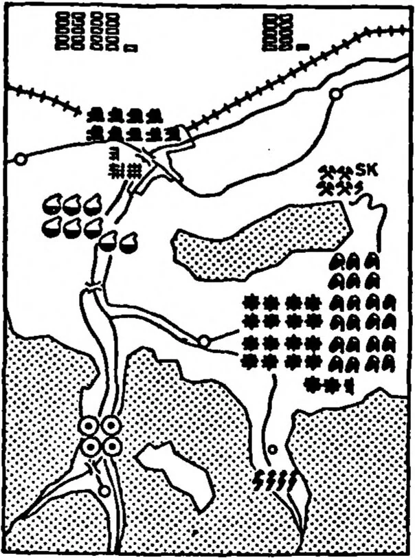
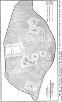
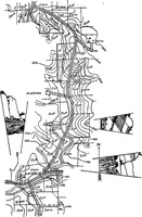
ding of areas involves variation in the density of dots filling an area which, in turn, results in variations in the shading of those areas. Another use of density coding is represented by contour lines used to code relief information on topographic maps. Contour lines are most appropri¬ ately… … Figure 27. An example of numerosity coding used with area symbols. (Adapted from Arnberger, 1974.) 44
McCallum,Marvin C · Anacapa sciences inc santa barbara ca · Computer applications · Symbolic programming · Data displays · Topography · Army aviation · Tactical data systems · Pilots · Army personnel · Literature surveys · Visual perception · Avionics · Mapping · Flight instruments · Human factors engineering · Information systems · Interactive graphics · Man machine systems · Helicopters · Navigation · Symbols
Internet Archive · Defense Technical Information Center · Public domain (US government work). Free to use for anything.