American practical navigator: an epitome of navigation and nautical astronomy (1914)
Bowditch, Nathaniel, 1773-1838, United States. Navy Dept. Bureau of Equipment, Logan, George Wood, 1868-1915 · Washington, Govt. Print. Off. · leaf 88
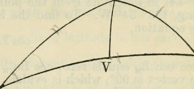
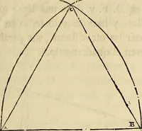
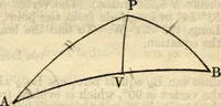
ts by such a line to represent the great circletrack between them. The courses and distance are readily obtainable by a methodexplained on the charts. The track may be transferred to a chart on the Mercatorprojection by plotting a number of its points by their coordinates and joining themwith a… … THE SAILINGS. 81 190. By Computation.—This method consists in determining a series of pointson the great circle by their coordinates of latitude and longitude, plotting them upona Mercator chart, and tracing the curve that P joins them. The first point determined is thevertex, or point of highest…
Navigation · Nautical astronomy
Internet Archive · California Digital Library · Public Domain Mark 1.0. Free to use for anything.