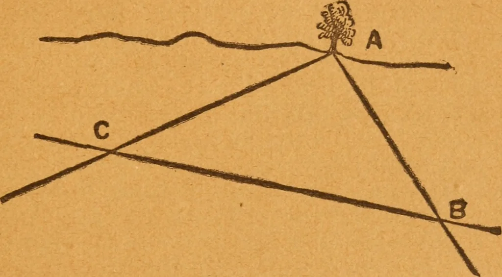
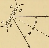
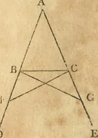
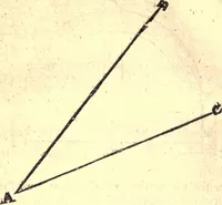
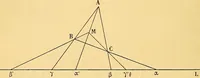
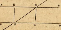
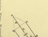
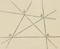
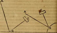
YACHTING AND SAILING. 105 where these lines cut represents the position of thevessel, and the distance between c and the beaconsor the shore can be measured with the dividers by-referring to the graduated meridian on the side ofthe chart as a scale. While a vessel is sailing along the shore her… … Fig. 43* beN.W. From A we draw the line a b in a N.W.magnetic direction by the compass design. Ourvessels course is N. by W. From any point b onthe line a b we draw a line b c in a N. by W. direc-tion. When we have sailed a certain distance, sayfive miles by the log, we take another bearing ofthe…
Yachts and yachting · Sailing
Internet Archive · Library of Congress · Public Domain Mark 1.0. Free to use for anything.