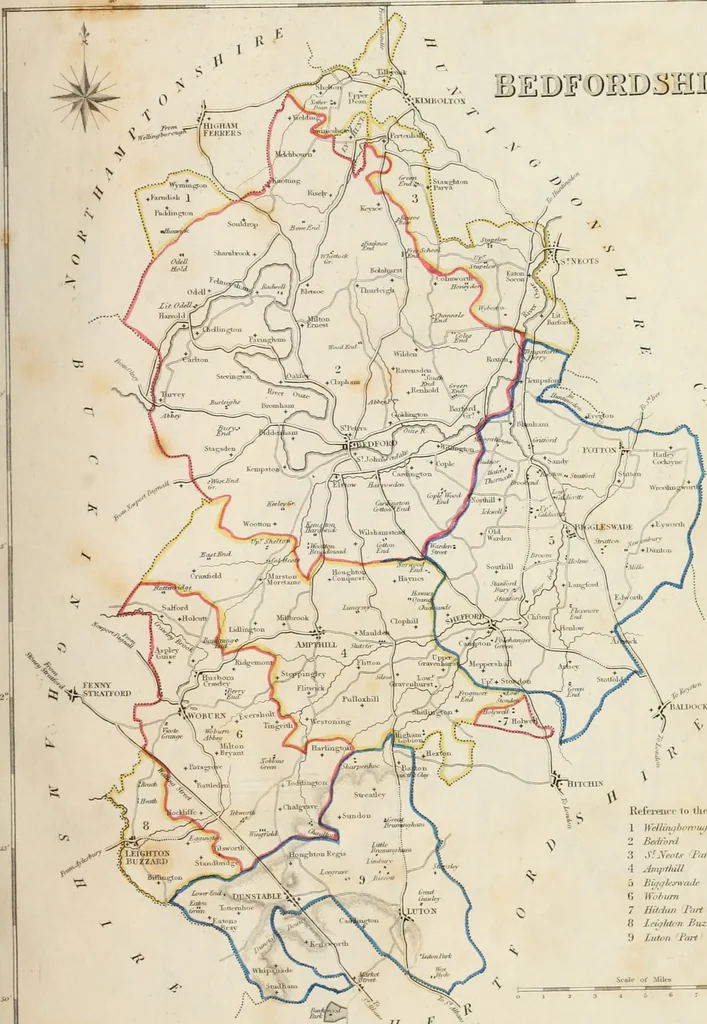
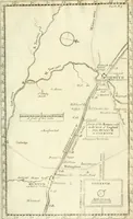
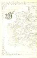
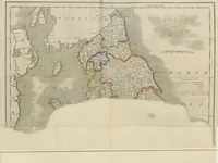
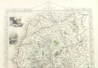
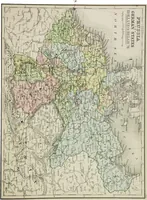
Atlas to the Topographical Dictionary of England, comprising a general map of England, a map of London, and maps of the counties of Bedford ... and York (1845)
Lewis, Samuel, d. 1865 · London : S. Lewis · leaf 12
Kefei-eiup 1o tJic Tiuous 1 ]\eUmohfniu/h Pari ■1 Ampfhill G XVolum 7 Hitrhiii Ihrt 8 Lfiifhton Buzzttrtl Paii 9 Luton Jarf Scalr of Miln // E l>-OaAVKD POli :.Ji^v,3 ToI-Or-n-.TlUf-Al. I> IVTI r>r.-A K V. «>.i lxm°nnid(- 0° a inai
Atlases, British
Internet Archive · California Digital Library · Public Domain Mark 1.0. Free to use for anything.