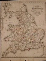
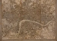
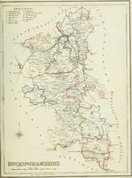
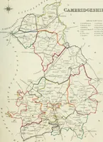
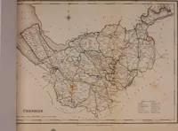
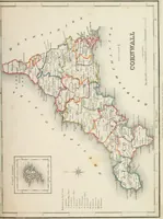
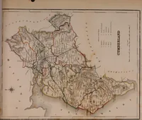
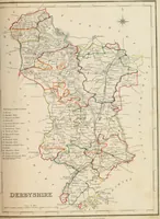
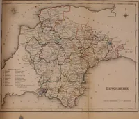
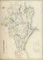
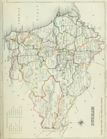
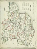
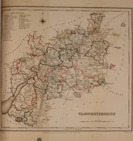
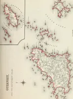
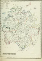
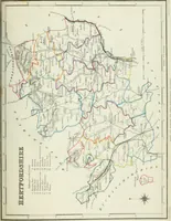
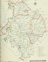
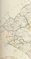
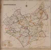
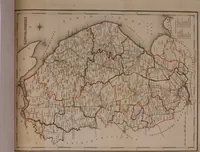
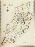
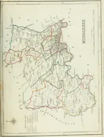
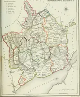
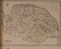
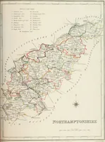
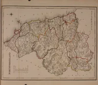
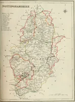
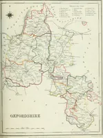
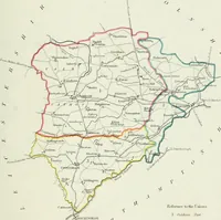
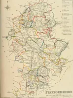
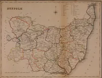
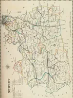
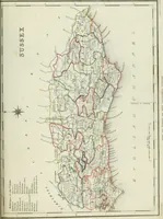
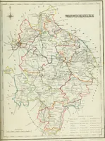
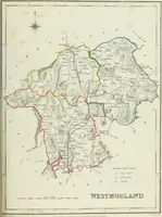
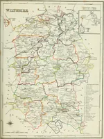
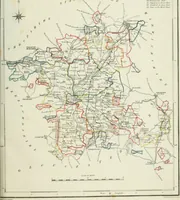
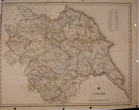
Atlas to the Topographical Dictionary of England, comprising a general map of England, a map of London, and maps of the counties of Bedford ... and York
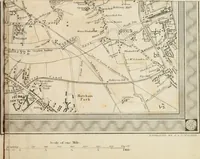
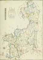
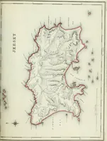
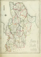
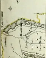
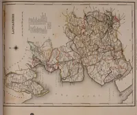
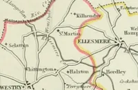
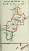
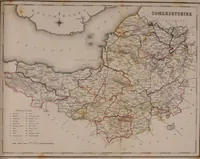
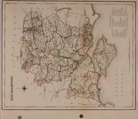
A county atlas issued by Samuel Lewis in London in 1845 to accompany his Topographical Dictionary of England, made for gazetteer readers, clergy and administrators tracing parishes and poor-law unions. The 51 engraved sheets are outline county maps with hand-coloured union boundaries, hatched hills, roads and rivers, compass roses, scale bars and numbered reference keys in fine copperplate lettering.