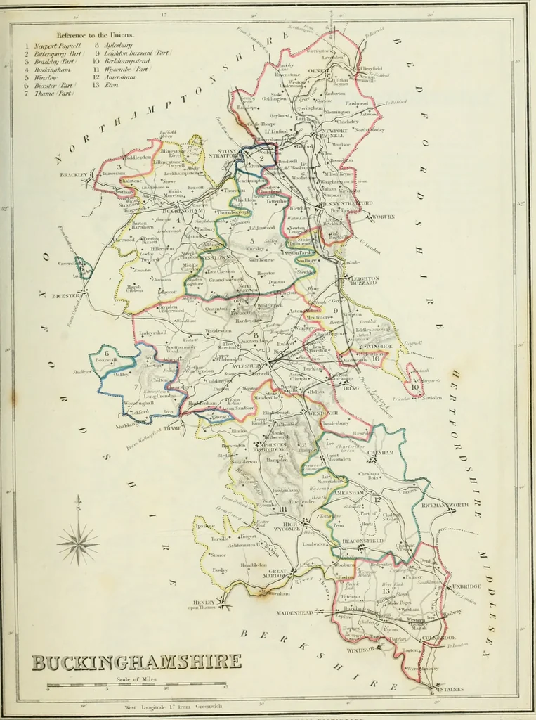
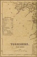
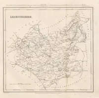
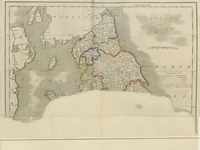
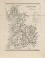
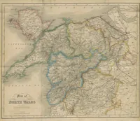
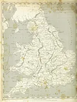
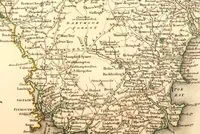
Atlas to the Topographical Dictionary of England, comprising a general map of England, a map of London, and maps of the counties of Bedford ... and York (1845)
Lewis, Samuel, d. 1865 · London : S. Lewis · leaf 16
K?Plt.\^Ki> rtiH i.i.tTi:^ TO Ir>4 IlAIllI IAl. V 1 C Tl U .■* A Tt V Mmdiau i! O OrfcuKicli ... E CAMBEID^ESMIIHE Reference to the Viuons . 1 Ai>rf/t H)uc/uhnl ft tiimhni(o<r 2 ni^chciirh Jiirt V> XnvmnH^Yt I.irf111 Bi.jtilejtwnlf liiii 7 iTuatrftpn 14 IJnfon Dtri
Atlases, British
Internet Archive · California Digital Library · Public Domain Mark 1.0. Free to use for anything.