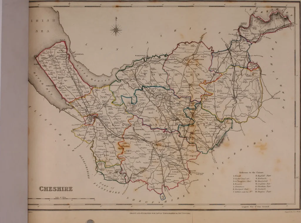
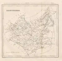
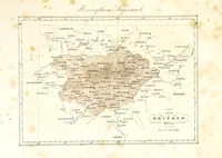
Atlas to the Topographical Dictionary of England, comprising a general map of England, a map of London, and maps of the counties of Bedford ... and York (1845)
Lewis, Samuel, d. 1865 · London : S. Lewis · leaf 21
s €H1 … IlrniTni-i III Ihr nnioiu I mmill 8 tLif^M.t Jbff i Oiriln-linil •irt 11 Xi<rlhntrh n li/fUv^ifii ■/bn III ilofftfilfM 1 n-iiM-nt II •;flt!ii/<n fitri iMlrinrhiiti Vi }(ir.tiiiim Fa/* tt M.vJijt.-rf Jiift I.T .llMi/lrjrt*7 h/.r.-,..^/.~ r 11 */(//.■« y«//
Atlases, British
Internet Archive · California Digital Library · Public Domain Mark 1.0. Free to use for anything.