Inside Out Library · Explore
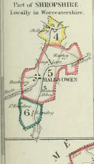
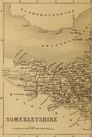
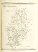
Atlas to the Topographical Dictionary of England, comprising a general map of England, a map of London, and maps of the counties of Bedford ... and York (1845) Lewis, Samuel, d. 1865 · London : S. Lewis · leaf 74
rin1 1.1 SHHdrSHlKK l-Oittlly ill ttVtrrrsimlim- … ^uJon iWiiucnV ..-/T.l*/ >r./--/- Y.:-titr,m WFIlJN-|;TllX*^^/rSritJ_ «5[- / fJf-/ Ealliu^inu lllUiSELn , Mr* itfj^ 11 Uixli.pR t^nf iji, •/ ,M.»^h j \ JS^J-r- \ i^ i Af V^i^ Cliimaii .. /n.,*» s!M.»iO^ »it^ _ ^\ \ JAAffrtivi-! ^v 15 Tav^^^-^* ^£^: \ -/■ ,>KMlillTHN > l{ E *f yf r^N4Hf… Atlases, British
Internet Archive · California Digital Library · Public Domain Mark 1.0. Free to use for anything.
More pictures from Atlas to the Topographical Dictionary of England, comprising a general map of England, a map of London, and maps of the counties of Bedford ... and York
More like this