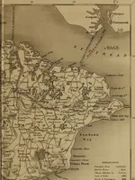
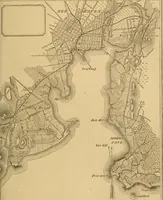
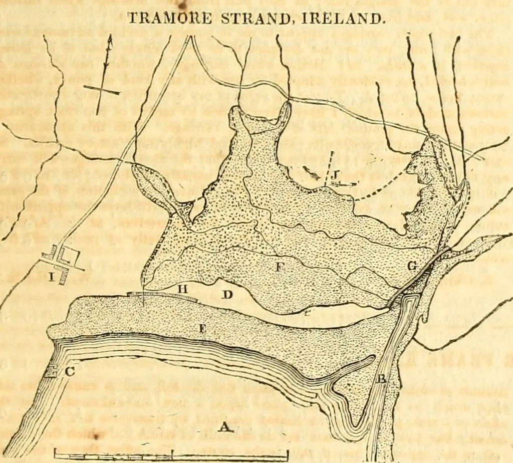
ith the mortices for the tenons ofno line of rails. Fig. 4 is the plan of the frame ; a a are the rails; c ctlie cross ties ; D D are piles or wedges of hard wood,which I let into the rock,to prevent the frame from sliding down the hill. I had no notion of usingtliem otherwise than as stops, and… … Furlongs 8 1 Mile. References to the Map. A, Tramore Bay as it appears at low water.—B, Rhinosliaik Channel.—C, Proposed Pier.—D, the Burrow, or neck of land, dividing the Front andBack Strand.—E, Front Strand of Tramore, which is covered at high-water.—F, the Back Strand, now covered at low-water,…
Civil engineering · Architecture
Internet Archive · Boston Library Consortium · Public Domain Mark 1.0. Free to use for anything.
![An illustration from Histoire des insectes nuisibles à la vigne : et particulièrement de la pyrale qui dévaste les vignobles des départments de la Cote-d'Or ... [etc.]; avec l'indication des moyens qu'on doit employer pour la combattre / par Victor Audouin. (1842)](https://img.insideoutlibrary.com/img/200/wellcome-wellcome_b28738731-164-1.webp)