Geological and topographical maps, their interpretation and use, a handbook for the geologist and civil engineer (1911)
Dwerryhouse, Arthur Richard, 1867- · London, E. Arnold · leaf 104
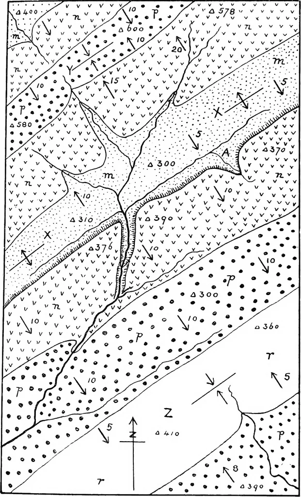
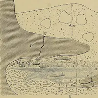
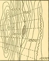
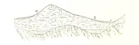
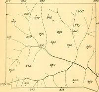
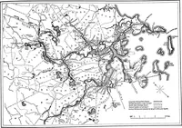
as diagram maps forpurposes of practice. The student should attempt todraw his own sections before consulting those given, andto supplement these by others drawn in different directions. The order of superposition of the strata is given inmost cases, but this is unnecessary, as it can be… … Fig. 71. 92 GEOLOGICAL AND TOPOGRAPHICAL MAPS core of the anticline, which runs from north-east tosouth-west across the centre of the district. The otherrocks exposed in ascending order are n, p, and r (2) Folds. The country has been folded along a north-east tosouth-west axis, the anticline and…
Cartography · Geology · Topographical drawing
Internet Archive · Cornell University Library · Public Domain Mark 1.0. Free to use for anything.