Geological and topographical maps, their interpretation and use, a handbook for the geologist and civil engineer
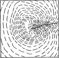
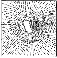
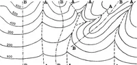
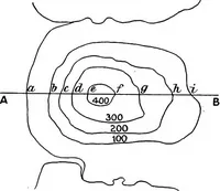
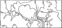
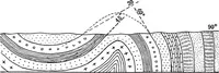
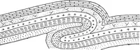
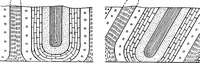
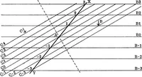
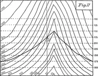
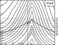
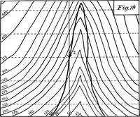
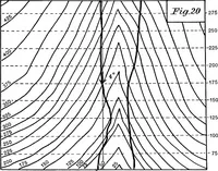
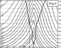
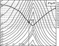
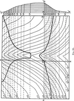
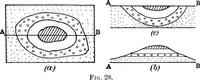
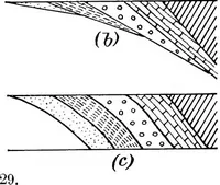
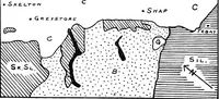
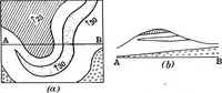
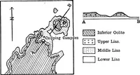
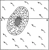
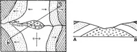
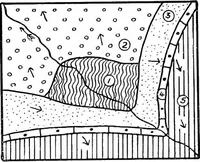
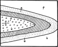
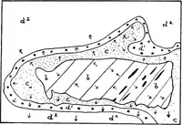
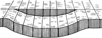
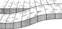
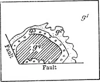
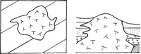
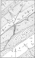
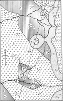
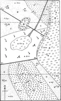
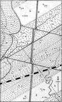
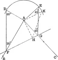
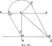
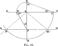
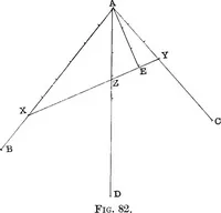
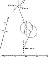
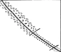
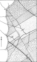
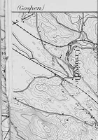
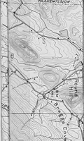
A 1911 handbook by Arthur Richard Dwerryhouse, published in London by Edward Arnold, teaching geologists and civil engineers how to read geological and topographical maps. The line diagrams pair map views of folded and faulted strata, drawn in stipple, hatching and dash patterns, with contour plans and cross-sections, offering ready-made texture fills, contour line sets and sectional profiles.