Geological and topographical maps, their interpretation and use, a handbook for the geologist and civil engineer (1911)
Dwerryhouse, Arthur Richard, 1867- · London, E. Arnold · leaf 109
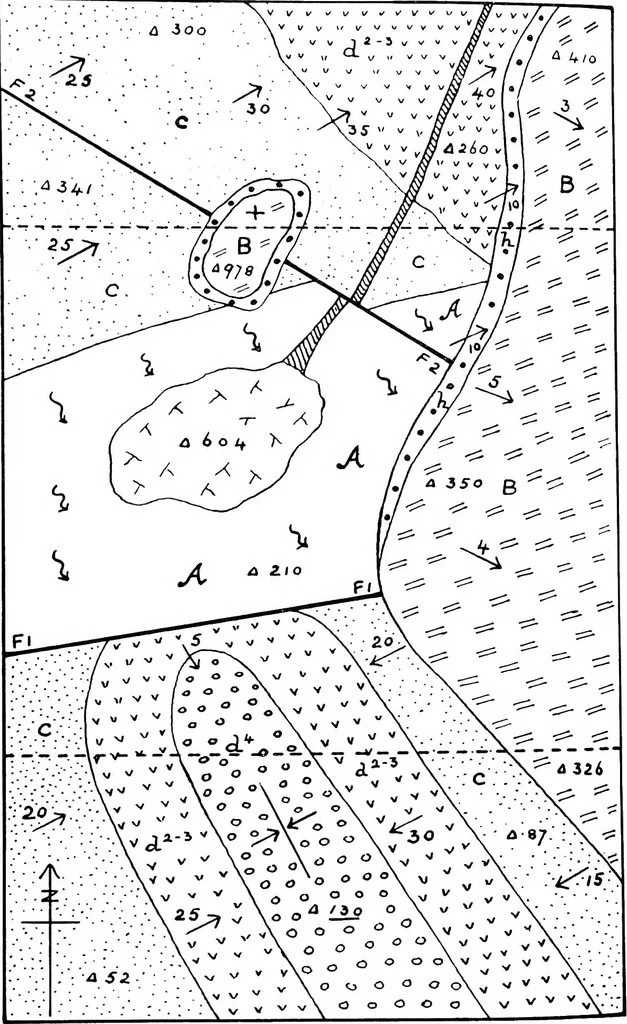
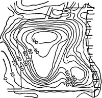
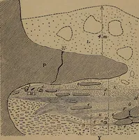
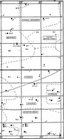
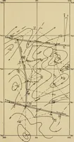
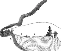
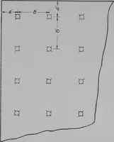
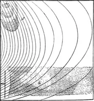
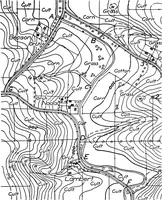
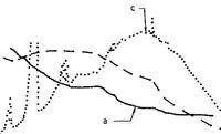
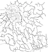
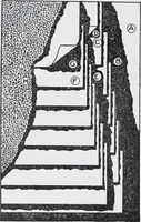
Fig. 72. GEOLOGICAL HISTORY FROM MAP8 95 f: V V* v y ve:0B :dm L1_L co oa a =3CO ■a O QO O ;^s O o — a — 00°0 0 0° oo 96 GEOLOGICAL AND TOPOGRAPHICAL MAPS ■ . a 3oo /<> . ■ 2.5 •■:*• S C • .434/:. ■^^^ ^^y … Fig. 74. GEOLOGICAL HISTORY FROM MAPS 97
Cartography · Geology · Topographical drawing
Internet Archive · Cornell University Library · Public Domain Mark 1.0. Free to use for anything.