Geological and topographical maps, their interpretation and use, a handbook for the geologist and civil engineer (1911)
Dwerryhouse, Arthur Richard, 1867- · London, E. Arnold · leaf 113
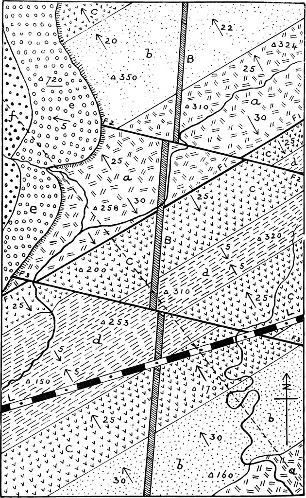
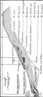
rmined, as it does not come into contact withthose rocks within the limits of the map. The final act was the removal by denudation ofthe beds e and/from the greater part of the area, andthe production of the existing topography.Physical Geography. The principal hills lie to the north-west of… … Fig. 76. GEOLOGICAL HISTORY FROM MAPS 101 • • • • • • • • o o o oO ogO o o o o rl#=§ co +f W v v vvv vv C Vvv V V V v vv V V V v V V vv oa c_CD a ^p* CO u- o a) O B Mmmmmm LF F °rt/-v:/V * £ 2 otAl* A fr .*7 ^ s A V* *A -/7V WA*-V\ Wa^ r W* * /a* ^ \^ Aw^S-A? AvA--^ CD htjT TV- . ■ ■ £_ /■» »■» ?X…
Cartography · Geology · Topographical drawing
Internet Archive · Cornell University Library · Public Domain Mark 1.0. Free to use for anything.