Inside Out Library · Explore
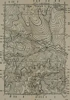
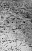
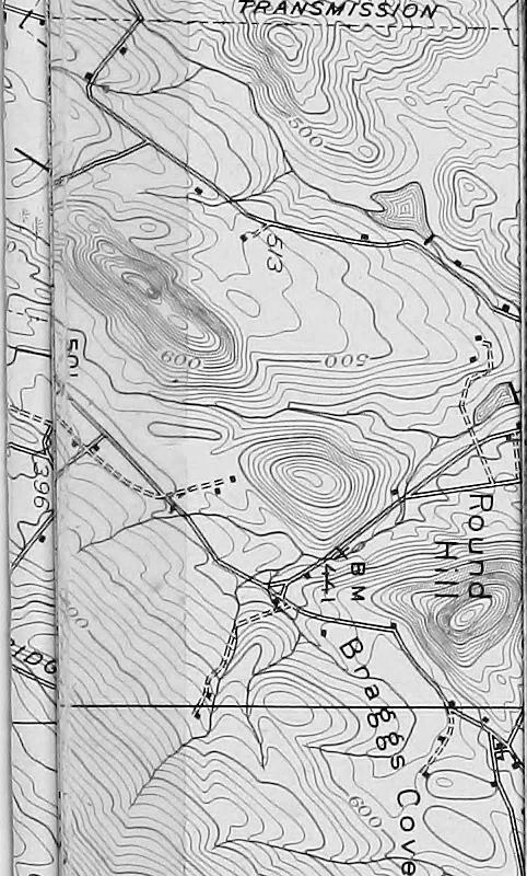
Geological and topographical maps, their interpretation and use, a handbook for the geologist and civil engineer (1911)
Dwerryhouse, Arthur Richard, 1867- · London, E. Arnold · leaf 162
 TffA flfSfiffS&OAT
Cartography · Geology · Topographical drawing
Internet Archive · Cornell University Library · Public Domain Mark 1.0. Free to use for anything.
More pictures from Geological and topographical maps, their interpretation and use, a handbook for the geologist and civil engineer
More like this