Geological and topographical maps, their interpretation and use, a handbook for the geologist and civil engineer (1911)
Dwerryhouse, Arthur Richard, 1867- · London, E. Arnold · leaf 17
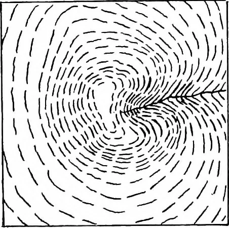
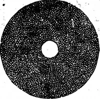
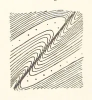
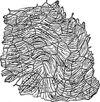
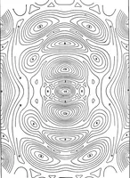
dingwhich they produce. Another system of shading is by drawing the hachuresin the direction of the slope, and in this case also thedepth of the shading will be proportional to the angle ofthe slope. Examples of the two types of shading just describedare given in Figs. 2 and 3. Hachure lines alone…
Cartography · Geology · Topographical drawing
Internet Archive · Cornell University Library · Public Domain Mark 1.0. Free to use for anything.