Geological and topographical maps, their interpretation and use, a handbook for the geologist and civil engineer (1911)
Dwerryhouse, Arthur Richard, 1867- · London, E. Arnold · leaf 19
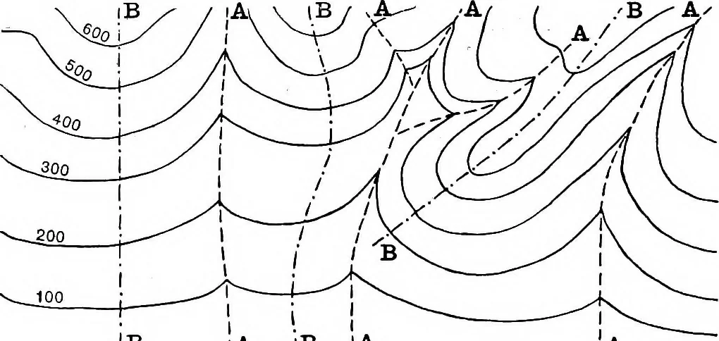
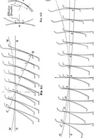
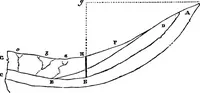
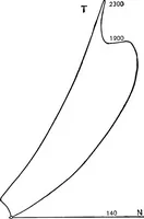
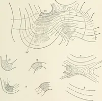
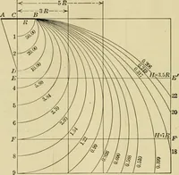
theforms of the lines will give to the practised eye a clearindication of the form of the ground. Obviously, themore closely packed the contour lines, the more rapid isthe slope, and where the curves of the lines are simple,the slope is a smooth one; but where the contours runin complex curves with… … (A iB IA Fig. 4.—Contour Lines. The following points with regard to contour lines arenoted as being of importance in the reading of maps:— (a) Before proceeding to the detailed study of the landforms, it is necessary to ascertain the contour interval, i.e.the vertical distance between successive…
Cartography · Geology · Topographical drawing
Internet Archive · Cornell University Library · Public Domain Mark 1.0. Free to use for anything.