Geological and topographical maps, their interpretation and use, a handbook for the geologist and civil engineer (1911)
Dwerryhouse, Arthur Richard, 1867- · London, E. Arnold · leaf 54
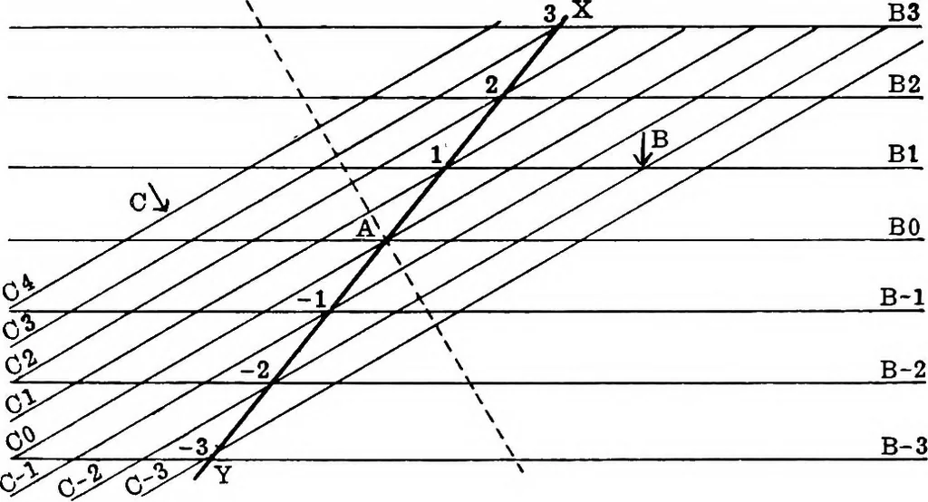
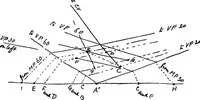
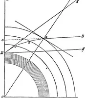
tween the contourswill be considered as being the same in each case, andfrom this it will follow that the plane C dips more steeplythan B, the contours being closer together on C. The figures attached to the contours indicate theirvertical distance above or below A, which is, of course, apoint… … Fig. 16.—Projection of the Line of Intersection of two PlaneSurfaces whose Dip is given. At all points along the line Bl the plane B is at aheight of one unit above the paper, and the same is trueof the plane C at all points along CI, therefore it followsthat B and C will be at the same level at…
Cartography · Geology · Topographical drawing
Internet Archive · Cornell University Library · Public Domain Mark 1.0. Free to use for anything.