Geological and topographical maps, their interpretation and use, a handbook for the geologist and civil engineer (1911)
Dwerryhouse, Arthur Richard, 1867- · London, E. Arnold · leaf 55
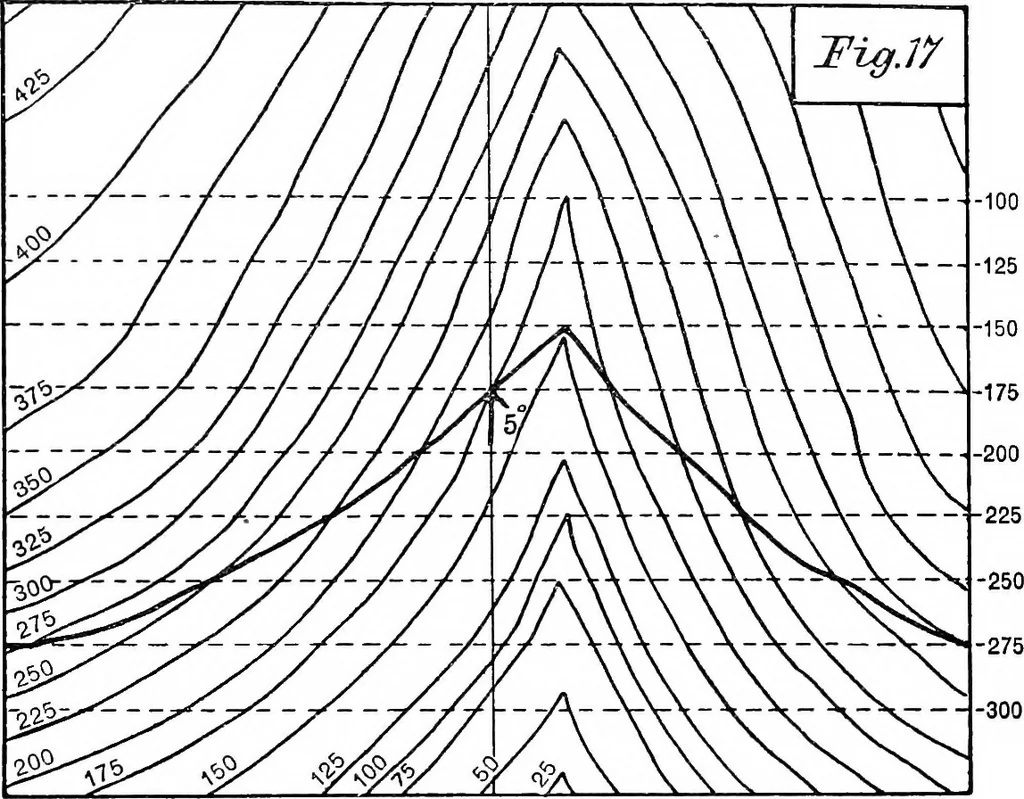
e plane ofthe paper. 42 GEOLOGICAL AND TOPOGRAPHICAL MAPS The line of intersection of two plane surfaces is, as willbe seen from the diagram, a straight line, and it will begathered from this and the following examples, that thehorizontal projection of the line of intersection of any twosurfaces,… … each other, over an area where the rocks are concealed bysurface materials, such as a swamp or a forest. The following examples will serve to illustrate themethod, and also to indicate the varying relation of outcropto contour, with varying amounts of dip. In the diagrams of Figs. 17 to 22 the…
Cartography · Geology · Topographical drawing
Internet Archive · Cornell University Library · Public Domain Mark 1.0. Free to use for anything.