Geological and topographical maps, their interpretation and use, a handbook for the geologist and civil engineer (1911)
Dwerryhouse, Arthur Richard, 1867- · London, E. Arnold · leaf 57
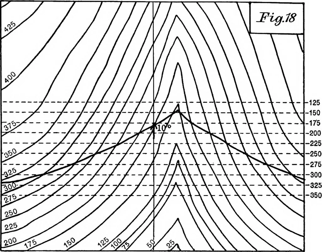
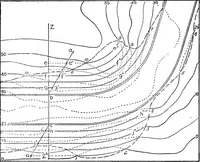
t opera-tion that the outcropi cannot cross a contour line except 44 GEOLOGICAL AND TOPOGRAPHICAL MAPS at one of these points of intersection of a stratum contourwith the corresponding surface contour. The point of the dip arrow touches the 175-foot surfacecontour, and the strike line drawn through… … surface, while in Figs 19 to 22 the dip runs in the samedirection as the slope, and it is instructive to observe theforms of outcrop characteristic of each arrangement. Thus in Figs. 17 and 18 it will be seen that the outcropis V-shaped where it crosses the valley, and that theV points up stream,…
Cartography · Geology · Topographical drawing
Internet Archive · Cornell University Library · Public Domain Mark 1.0. Free to use for anything.