Geological and topographical maps, their interpretation and use, a handbook for the geologist and civil engineer (1911)
Dwerryhouse, Arthur Richard, 1867- · London, E. Arnold · leaf 74
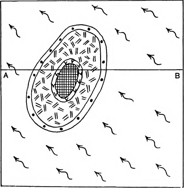
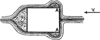
ounding hills in North-west York-shire (1-inch map, Sheet 50). The strata forming an outlier may rest either con-formably or unconformably on the rocks below. Fig. 36is an example of a conformable outlier, while Fig. 37, whichis taken from County Antrim, shows a case of an uncon-formable outlier at…
Cartography · Geology · Topographical drawing
Internet Archive · Cornell University Library · Public Domain Mark 1.0. Free to use for anything.