Geological and topographical maps, their interpretation and use, a handbook for the geologist and civil engineer (1911)
Dwerryhouse, Arthur Richard, 1867- · London, E. Arnold · leaf 86
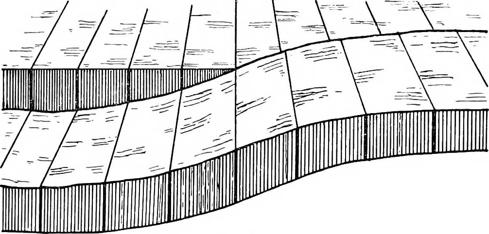
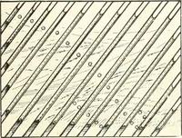
ts the throw varies from place to place,and may die out entirely in one or in both directions.The manner in which this is brought about will be under-stood on reference to the diagram (Fig. 47). DISLOCATIONS 73 Again, in travelling along a fault, it may be found thatthe throw gradually diminishes… … Fig. 48. may be brought about is by the intervention of other faults.Thus, in the plan (Fig. 49), in which the throws of thevarious faults are indicated in feet, and the figures ineach case printed on the downthrow side, the throw ofthe main fault ab is only 30 feet at a, but the cross-fault, (X b…
Cartography · Geology · Topographical drawing
Internet Archive · Cornell University Library · Public Domain Mark 1.0. Free to use for anything.