Geological and topographical maps, their interpretation and use, a handbook for the geologist and civil engineer (1911)
Dwerryhouse, Arthur Richard, 1867- · London, E. Arnold · leaf 97
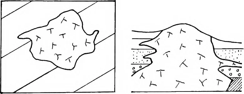
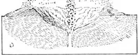
duce appearances which are recognisable in the field,the zone or aureole of contact metamorphism has beenmapped. The size and form of the aureole of metamorphosedrocks may give valuable information as to the subter-ranean form and extent of the intrusion; thus in the caseof the granite near… … a b Fig. 66.—Plan and Section of an Irregular Batholite. neighbourhood of Redruth the aureole is very wellmarked and of great extent, pointing to a wide subter-ranean extension of the granite at no great depth belowthe surface, which is confirmed by the occurrence of twodetached exposures.…
Cartography · Geology · Topographical drawing
Internet Archive · Cornell University Library · Public Domain Mark 1.0. Free to use for anything.