Maps, their history, characteristics and uses; a handbook for teachers (1921)
Fordham, Herbert George, Sir, 1854-1929 · Cambridge : The University press · leaf 62
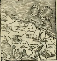
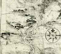
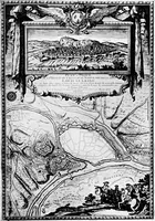
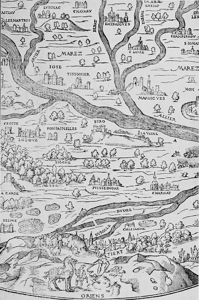
map already mentionedof a part of the Auvergne, in France, drawn by a Florentine,Gabriel Symeone, and published in 1560 (Plate VII). It isa small, circular map, with the west at the top. At the foot,on an eminence, in the foreground, so to speak, is depictedan engineer, or cartographer, with his… … Section from Map of the Auvergne. Gabriel Symeone. Lyons, 1560. PANORAMAS AND THEIR RELATION TO MAPS 35 the plain and course of the River AHier and its tributaries.This method of representation of surface was soon disused,but it is revived in the latter part of the seventeenth centuryin the plans…
Maps · Cartography
Internet Archive · Cornell University Library · Public Domain Mark 1.0. Free to use for anything.
![An illustration from Sylloge numismatum elegantiorum, quae diuersi impp., reges, principes, comites, respublicae diuersas ob causas ab anno 1500 ad annum usq[ue] 1600 cudi fecerunt, concinnata & historica narratione (sed breui) illustrata (1620)](https://img.insideoutlibrary.com/img/200/ia-syllogenumismatu00luck-377-480.webp)
![An illustration from Eyn schön nützlich Büchlin vnd Vnderweisung der Kunst des Messens mit dem Zirckel, Richtscheidt oder Linial : zu nutz allen Kunstliebhabern fürnemlich den Malern, Bildhawern, Goldschmiden, Seidenstikern, Steynmetzen, Scheinern auch allen Andern so sich der Kunst des Messens (Perspectiua zü latin gnant) zügebrauchen Lust haben : darin Man auch solche Kunst leichter dan ausz etzlichen hieuorgetruckten Büchern begreiffen vn lernen mag mit vil [i.e., 56] schönen darzü dienenden Figuren (1531)](https://img.insideoutlibrary.com/img/200/ia-eynschnntzlichbc00rodl-79-103.webp)