The draughtsman's handbook of plan and map drawing, including instructions for the preparation of engineering, architectural, and mechanical drawings (1874)
André, George G · London, Spon · leaf 58
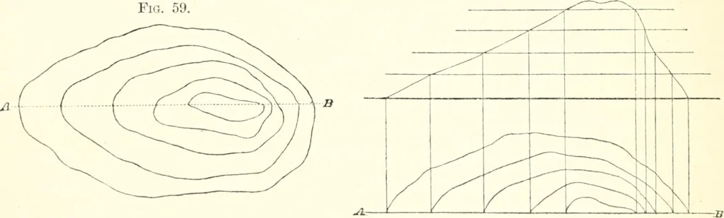
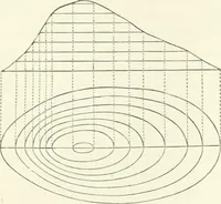
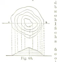
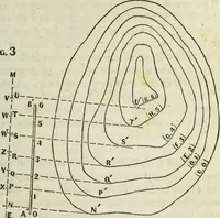
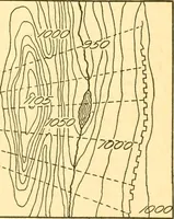
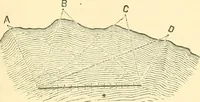
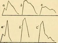
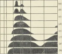
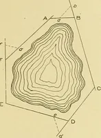
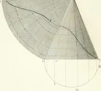
between thecontour lines also varies, the distance decreasing as the inclinationincreases. Thus the method of representing objects in plan bycontour lines, not only gives the correct form of the object, but showsthe relative inclination of every portion of its surface. This may beclearly seen in… … The system of representation by contour lines is generallyadopted by topographers to distinguish and define the variation ofthe surface of the ground in regard to hill, valley, and plain. Byintersecting a mountain, for example, by a sufficient number ofhorizontal planes, its correct form may be…
Architectural drawing · Cartography
Internet Archive · University of Toronto, Robarts Library · Public Domain Mark 1.0. Free to use for anything.