U.S. Coast and Geodetic Survey, Jones, Ernest Lester, 1876-1929 · Washington : Govt. Print. Off. · leaf 46
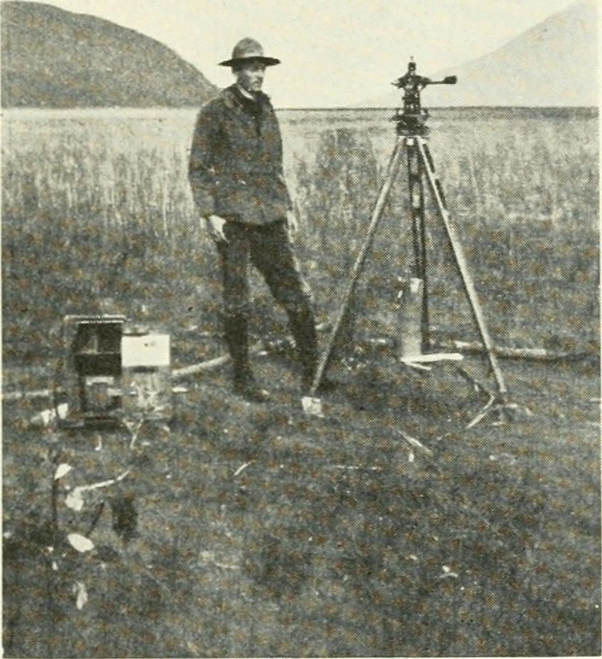
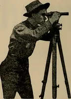
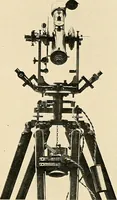
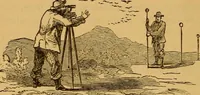
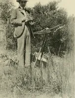
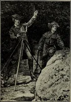
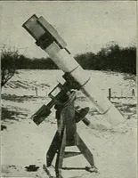
Fig. 10.—1 HEODOLITE, USED IN THE HIGHEST CLASS OF TRIANGULATION WHERETHE DISTANCES BETWEEN STATIONS ARE OFTEN 100 MILES OR MORE. Special Publication No. 33. … Fig. 11.—OBSERVER AT WORK ON THE COAST TRIANGU LATION, MEASURING ANGLESFOR THE DETERMINATION OF THE POSITIONS OF OBJECTS USED TO CONTROLTHE TOPOGRAPHIC AND HYDROGRAPHIC SURVEYS. Special Publication No. 38.
Charts, diagrams, etc
Internet Archive · University of Toronto, Robarts Library · Public Domain Mark 1.0. Free to use for anything.