U.S. Coast and Geodetic Survey, Jones, Ernest Lester, 1876-1929 · Washington : Govt. Print. Off. · leaf 64
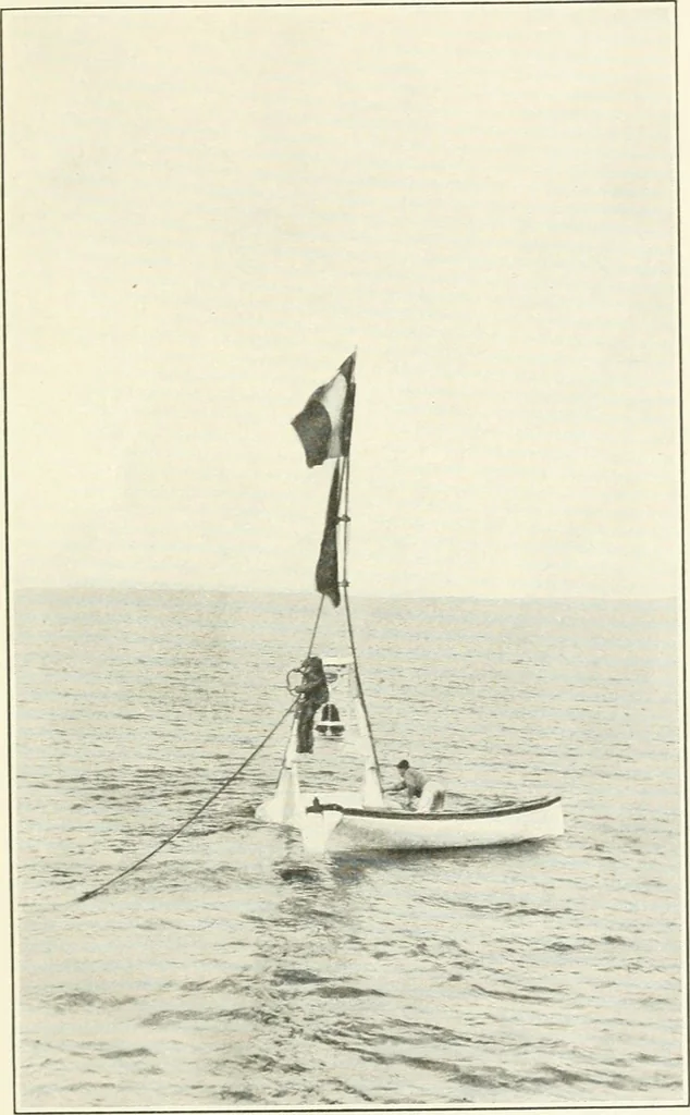
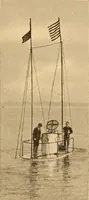
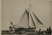
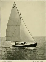
Fig. 19.- -LARGE HYDROCRAPHIC SIGNAL, 75 FEET HIGH, USEDALONG THE COAST OF GEORGIA. IN OFFSHORE WORK Special Publication No. 38. … Fig. 20.—FLOATING HYDROGRAPHIC SIGNAL, USED FOR DETERMINING POSITIONSOF SOUNDINGS OUT OF SIGHT OF LAND.
Charts, diagrams, etc
Internet Archive · University of Toronto, Robarts Library · Public Domain Mark 1.0. Free to use for anything.