The English pilot. [cartographic material] : The fourth book. Describing The West-India navigation, from Hudson's Bay to the River Amazones. Particularly delineating The Sea Coasts, Capes, Headlands, Rivers, Bays, Roads, Havens, Harbours, Streights, Rocks, Sands, Shoals, Banks, Depths of Water, and Anchorage, with all the Islands therein, as Jamaica, Cuba, Hispaniola, Barbadoes, Antigua, Bermudas, Porto Rico, and the rest of the Caribbee and Bahama Islands. Also, A new Description of Newfoundland, New England, New York, East and West New- Jersey, Dellawar Bay, Virginia, Maryland, Carolina. showing, The Courses and Distances from one Place to another; the Ebbing and Flowing of the Sea, the Setting of the Tides and Currents, &c. With many other Things necessary to be known in Navigation. (1775)
Thornton, John, 1641-1708, Fisher, William, fl. 1669-1691, Adams, John, 1735-1826, former owner. BRL, Boston Public Library (John Adams Library) BRL · London : Printed for J. Mount, T. Page, and W. Mount, on Tower-Hill. · leaf 102
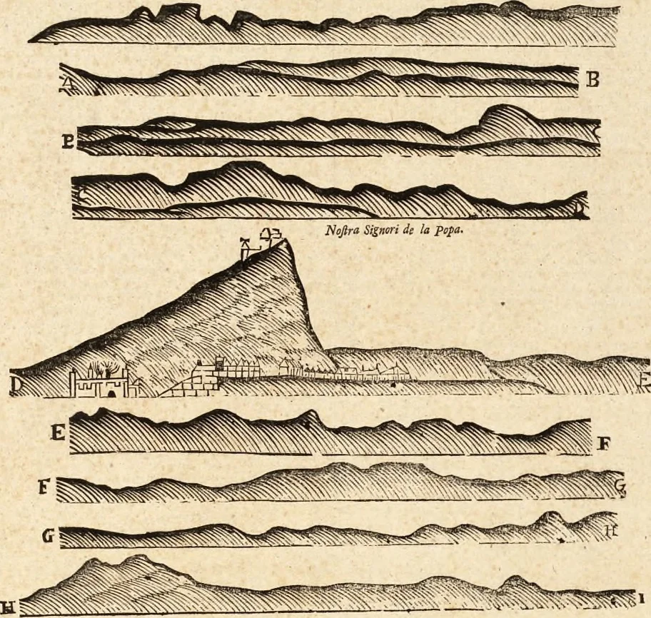
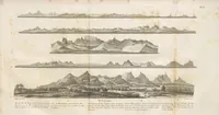
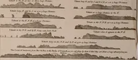
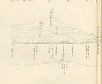
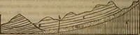
longSW. neareft, but to Pania Canoa WSW, This point is focalled by reafon the point appears like two canoes, at a greatdiftance ; the point has lying from it at leaft two leagues tofeaward many rocks and dangers, whereof you ought to givegood diftance when bound about that point; or going intothe… … yl Dcfaiption of Cart.iageiia Cn^h Light Uoufi.In this manner appears the coaft of Carlbageia, when lying before the city at anchor, in 6 fathoms water; where isgoodfandyground from /aMM i^c Caned to the iHands in Bur/i. And as far as you can fee the land NNE. and SSW. (for fo reaches thecoaft…
Pilot guides · Nautical charts · Navigation
Internet Archive · Boston Public Library · Public Domain Mark 1.0. Free to use for anything.