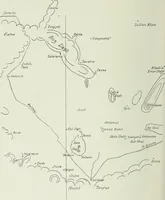
The English pilot. [cartographic material] : The fourth book. Describing The West-India navigation, from Hudson's Bay to the River Amazones. Particularly delineating The Sea Coasts, Capes, Headlands, Rivers, Bays, Roads, Havens, Harbours, Streights, Rocks, Sands, Shoals, Banks, Depths of Water, and Anchorage, with all the Islands therein, as Jamaica, Cuba, Hispaniola, Barbadoes, Antigua, Bermudas, Porto Rico, and the rest of the Caribbee and Bahama Islands. Also, A new Description of Newfoundland, New England, New York, East and West New- Jersey, Dellawar Bay, Virginia, Maryland, Carolina. showing, The Courses and Distances from one Place to another; the Ebbing and Flowing of the Sea, the Setting of the Tides and Currents, &c. With many other Things necessary to be known in Navigation. (1775)
Thornton, John, 1641-1708, Fisher, William, fl. 1669-1691, Adams, John, 1735-1826, former owner. BRL, Boston Public Library (John Adams Library) BRL · London : Printed for J. Mount, T. Page, and W. Mount, on Tower-Hill. · leaf 103
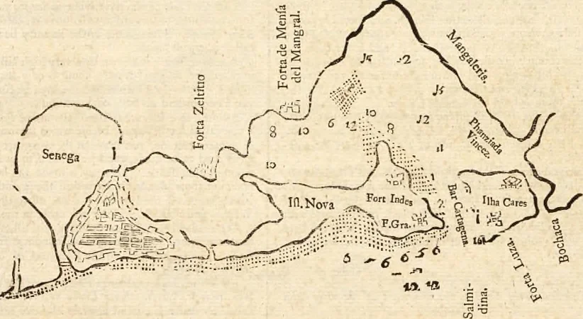
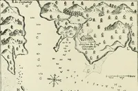
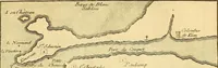
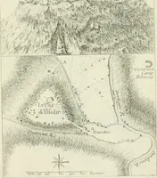
and NNE. and SSW. (for fo reaches thecoaft there) from Punta deCanoa to the idands. Punia dt Cama is in tlic latitude of ir deg. J5 min. 1 he letters AA, BB, CC, DD, EE, FF, GG, HH, II, muft be joined together.The Shoal which reaches to Seaward from Pima deCanoa, I with a Ioint towards the Weft,… … In tliis manner lies the city of Cartbngeiu A V^frnpiim cf Carthagena. Carlhagtna is a city on the Eaftermoft of the three idands.(ByCarlbagexayoa miift iinderftand the whole road of Carlba-geim) its latitude is N. 10 deg. iy min. long. 75 deg, ii min. Carthagena is a great deep bay, reachmg a…
Pilot guides · Nautical charts · Navigation
Internet Archive · Boston Public Library · Public Domain Mark 1.0. Free to use for anything.