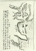
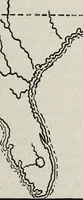
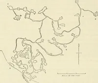
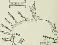
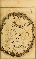
The English pilot. [cartographic material] : The fourth book. Describing The West-India navigation, from Hudson's Bay to the River Amazones. Particularly delineating The Sea Coasts, Capes, Headlands, Rivers, Bays, Roads, Havens, Harbours, Streights, Rocks, Sands, Shoals, Banks, Depths of Water, and Anchorage, with all the Islands therein, as Jamaica, Cuba, Hispaniola, Barbadoes, Antigua, Bermudas, Porto Rico, and the rest of the Caribbee and Bahama Islands. Also, A new Description of Newfoundland, New England, New York, East and West New- Jersey, Dellawar Bay, Virginia, Maryland, Carolina. showing, The Courses and Distances from one Place to another; the Ebbing and Flowing of the Sea, the Setting of the Tides and Currents, &c. With many other Things necessary to be known in Navigation. (1775)
Thornton, John, 1641-1708, Fisher, William, fl. 1669-1691, Adams, John, 1735-1826, former owner. BRL, Boston Public Library (John Adams Library) BRL · London : Printed for J. Mount, T. Page, and W. Mount, on Tower-Hill. · leaf 15
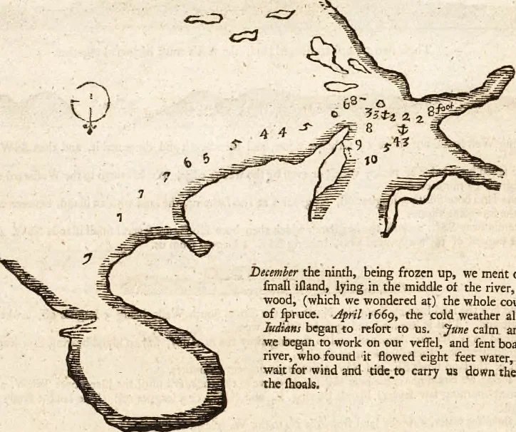
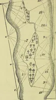
us. The 19thwe came to the river on the Eafl: fide, which the IiuUani toldus of, and found at the mouth of ic 8 feet water, and gettingin, met and touched on the ridge of ftones in two places 1 but getting frirther in anchored in 2 fathoms and a half ftelbwater: The river is a mile broad, and lies… … Deiemher the ninth, being frozen up, we ment on the Ice to 2fmall ifland, lying in the middle ot the river, full of poplarwood, (which we wondered at) the whole country being fullof fpruce. j^pril 1669, the cold weatJier almoft over, theIiidiaH! began to refort to us. Jme calm and hot weather,we…
Pilot guides · Nautical charts · Navigation
Internet Archive · Boston Public Library · Public Domain Mark 1.0. Free to use for anything.