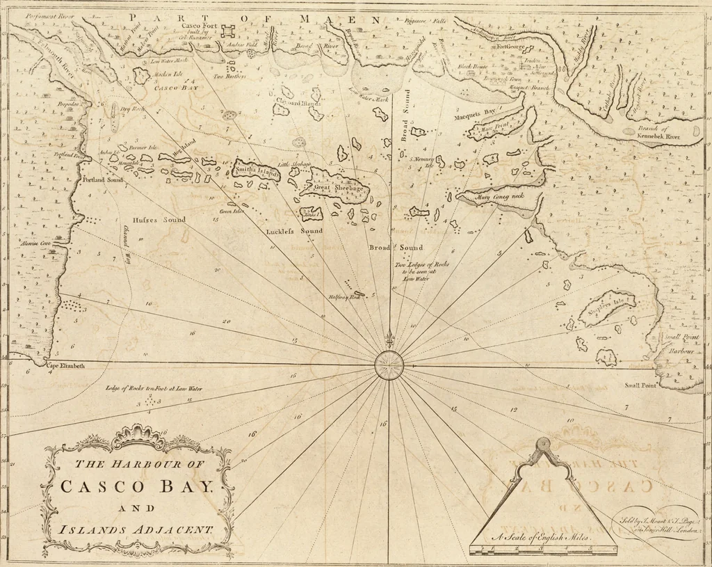
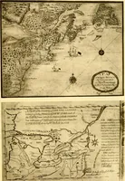
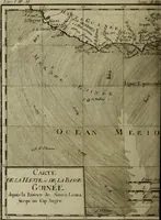
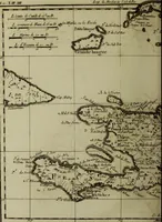
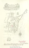
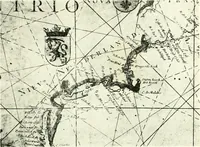
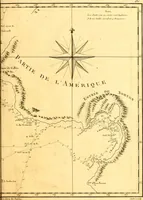
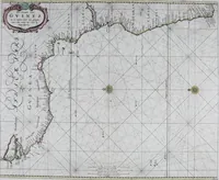
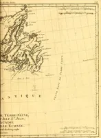
The English pilot. [cartographic material] : The fourth book. Describing The West-India navigation, from Hudson's Bay to the River Amazones. Particularly delineating The Sea Coasts, Capes, Headlands, Rivers, Bays, Roads, Havens, Harbours, Streights, Rocks, Sands, Shoals, Banks, Depths of Water, and Anchorage, with all the Islands therein, as Jamaica, Cuba, Hispaniola, Barbadoes, Antigua, Bermudas, Porto Rico, and the rest of the Caribbee and Bahama Islands. Also, A new Description of Newfoundland, New England, New York, East and West New- Jersey, Dellawar Bay, Virginia, Maryland, Carolina. showing, The Courses and Distances from one Place to another; the Ebbing and Flowing of the Sea, the Setting of the Tides and Currents, &c. With many other Things necessary to be known in Navigation. (1775)
Thornton, John, 1641-1708, Fisher, William, fl. 1669-1691, Adams, John, 1735-1826, former owner. BRL, Boston Public Library (John Adams Library) BRL · London : Printed for J. Mount, T. Page, and W. Mount, on Tower-Hill. · leaf 26
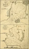
ad, is S.HeadofthoNNE. three leagues; between which two heads is fifl^^(i/^ayofCata.Harbour and Catnlina Harbour, Catalina Harbour hes from the V^*^^South-head N. by E, northerly about two miles. Ragged Harbour is fo called by reafon of the ;,bundance of^SE^^fl^ragged and fcraggy rocks which lie… … # C A S C O B (i A K 1) m JszAJV7?s Aj)ja cr.NT # ^ A Defcnption of Newfoundland. li They who intend for Ragged Harbmir wiih a [hip, muft goto the Northward of all the aforefaid rocks or iflands that liebefore i[, (which make the harbour) and run ft far to theN.ward till chcy bring Ragged Harbour…
Pilot guides · Nautical charts · Navigation
Internet Archive · Boston Public Library · Public Domain Mark 1.0. Free to use for anything.