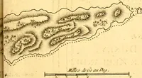
The English pilot. [cartographic material] : The fourth book. Describing The West-India navigation, from Hudson's Bay to the River Amazones. Particularly delineating The Sea Coasts, Capes, Headlands, Rivers, Bays, Roads, Havens, Harbours, Streights, Rocks, Sands, Shoals, Banks, Depths of Water, and Anchorage, with all the Islands therein, as Jamaica, Cuba, Hispaniola, Barbadoes, Antigua, Bermudas, Porto Rico, and the rest of the Caribbee and Bahama Islands. Also, A new Description of Newfoundland, New England, New York, East and West New- Jersey, Dellawar Bay, Virginia, Maryland, Carolina. showing, The Courses and Distances from one Place to another; the Ebbing and Flowing of the Sea, the Setting of the Tides and Currents, &c. With many other Things necessary to be known in Navigation. (1775)
Thornton, John, 1641-1708, Fisher, William, fl. 1669-1691, Adams, John, 1735-1826, former owner. BRL, Boston Public Library (John Adams Library) BRL · London : Printed for J. Mount, T. Page, and W. Mount, on Tower-Hill. · leaf 56
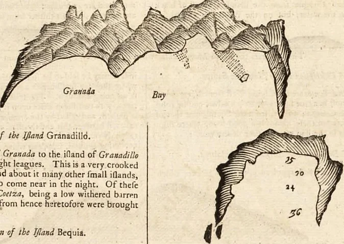
Thus fl-encth Barbaieci when 11 bears thus diftance like three iQands. The middle of the ifland is thehigheft land, which is craggy and broken; and about a leag.off, eaftward, lies a Cioal, but there is water enough thereonfor reafonable fhips; and on the South-fide there are two fmalllllands, with… … A Defcription of tbi IJIand Granadilld. From the Eaft point of Granada to theit is due North feven or eight ieagues. Ttfagged iJland, having round about it many Other fmall illands,and therefore dangerous to come near in the nioht. Of thefcfmall idands, one c.illed Coelza, being a iow wiihered…
Pilot guides · Nautical charts · Navigation
Internet Archive · Boston Public Library · Public Domain Mark 1.0. Free to use for anything.