The English pilot. [cartographic material] : The fourth book. Describing The West-India navigation, from Hudson's Bay to the River Amazones. Particularly delineating The Sea Coasts, Capes, Headlands, Rivers, Bays, Roads, Havens, Harbours, Streights, Rocks, Sands, Shoals, Banks, Depths of Water, and Anchorage, with all the Islands therein, as Jamaica, Cuba, Hispaniola, Barbadoes, Antigua, Bermudas, Porto Rico, and the rest of the Caribbee and Bahama Islands. Also, A new Description of Newfoundland, New England, New York, East and West New- Jersey, Dellawar Bay, Virginia, Maryland, Carolina. showing, The Courses and Distances from one Place to another; the Ebbing and Flowing of the Sea, the Setting of the Tides and Currents, &c. With many other Things necessary to be known in Navigation. (1775)
Thornton, John, 1641-1708, Fisher, William, fl. 1669-1691, Adams, John, 1735-1826, former owner. BRL, Boston Public Library (John Adams Library) BRL · London : Printed for J. Mount, T. Page, and W. Mount, on Tower-Hill. · leaf 57
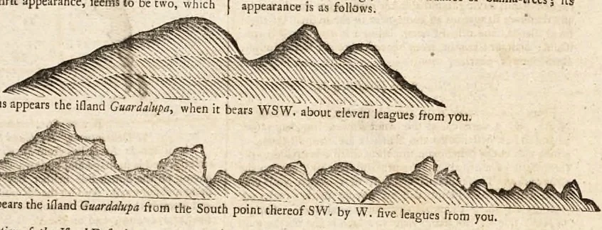
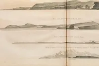
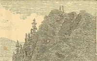
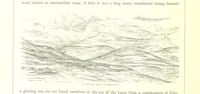
going through. The Eatb point of the illand is full oftrees, with two fliarp ciifts upon it; The middle of the illandIS higheft, and called by the Spaniards, Alia Guardslupa ■ voumay fail between ihis and ibe iftands de Sanlos. Thefe ifiardsreach NW. and SE. ncareft. havingon the South fide… … Thu II , ,„ ,1 Mr ^ A Difcriphon ef the IJland Defeadi. The ifland Dtfeada lies ENE. and WSW. having trees upon It, and is proportioned like a galley ; the NE end thereof appears like a head or prow of a gallery ; but coming near, and pafllng by the N. end of it. you perceive mlem tT.« i^^heap.of…
Pilot guides · Nautical charts · Navigation
Internet Archive · Boston Public Library · Public Domain Mark 1.0. Free to use for anything.