The English pilot. [cartographic material] : The fourth book. Describing The West-India navigation, from Hudson's Bay to the River Amazones. Particularly delineating The Sea Coasts, Capes, Headlands, Rivers, Bays, Roads, Havens, Harbours, Streights, Rocks, Sands, Shoals, Banks, Depths of Water, and Anchorage, with all the Islands therein, as Jamaica, Cuba, Hispaniola, Barbadoes, Antigua, Bermudas, Porto Rico, and the rest of the Caribbee and Bahama Islands. Also, A new Description of Newfoundland, New England, New York, East and West New- Jersey, Dellawar Bay, Virginia, Maryland, Carolina. showing, The Courses and Distances from one Place to another; the Ebbing and Flowing of the Sea, the Setting of the Tides and Currents, &c. With many other Things necessary to be known in Navigation. (1775)
Thornton, John, 1641-1708, Fisher, William, fl. 1669-1691, Adams, John, 1735-1826, former owner. BRL, Boston Public Library (John Adams Library) BRL · London : Printed for J. Mount, T. Page, and W. Mount, on Tower-Hill. · leaf 79
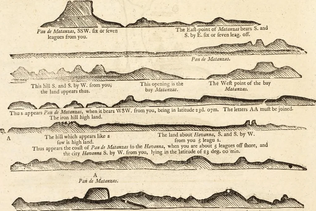
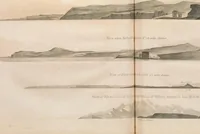
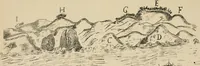
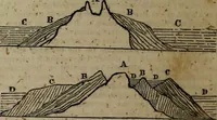
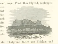
oint runs flat off 3great way to fea. Cape Engano Weft half South, diltant 6leagues, makes two heads like a wedge. And lb much fliallfuffice for the Ifland B/pankla. This 42 A Defcription of the IJland Qa^-a. This bay of Malamai i% about a league and a half in length; and as aforefaid wltliout the… … When you are about the bay of Malanzas, the land marked with the letter A, appears thus. When the round hlll of Pan di Matanxas bears SSW. about 3 leagues from you, it appears as above. And when you lirrt fee it, it lecms like a Saddle, fo that it may be eafily known.
Pilot guides · Nautical charts · Navigation
Internet Archive · Boston Public Library · Public Domain Mark 1.0. Free to use for anything.