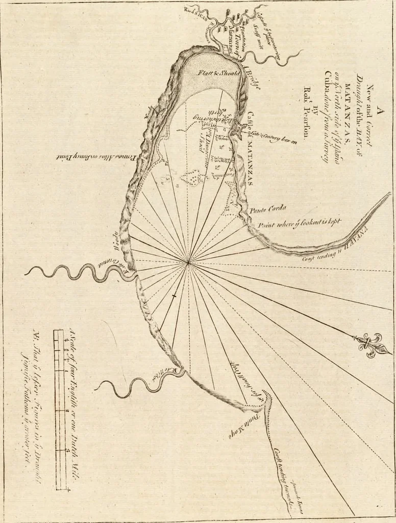
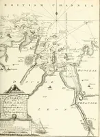
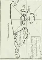
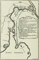
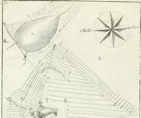
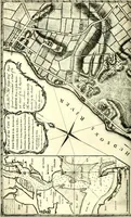
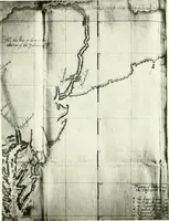
The English pilot. [cartographic material] : The fourth book. Describing The West-India navigation, from Hudson's Bay to the River Amazones. Particularly delineating The Sea Coasts, Capes, Headlands, Rivers, Bays, Roads, Havens, Harbours, Streights, Rocks, Sands, Shoals, Banks, Depths of Water, and Anchorage, with all the Islands therein, as Jamaica, Cuba, Hispaniola, Barbadoes, Antigua, Bermudas, Porto Rico, and the rest of the Caribbee and Bahama Islands. Also, A new Description of Newfoundland, New England, New York, East and West New- Jersey, Dellawar Bay, Virginia, Maryland, Carolina. showing, The Courses and Distances from one Place to another; the Ebbing and Flowing of the Sea, the Setting of the Tides and Currents, &c. With many other Things necessary to be known in Navigation. (1775)
Thornton, John, 1641-1708, Fisher, William, fl. 1669-1691, Adams, John, 1735-1826, former owner. BRL, Boston Public Library (John Adams Library) BRL · London : Printed for J. Mount, T. Page, and W. Mount, on Tower-Hill. · leaf 88
s tide of ebb youmuft anchor, if flood you may turn up, taking care to fliuna reef of fand which comes away from Heg-ljland, and ftretchcsclear up the harbour above the caftle half a mile, the channellays (lesreft the caftle, being about two cables length broad.You may anchor above the caftle in 3… … A Defcription of Jamaica, and the Bahama IJlandi- 4? couri^is NW. byN. diftanc 33 leagues, which will bnrtgyouabouc 7 leagues ro the Weftward of the Weft-end of GrandBahama, fteet away NVV. about 8 or 9 leagues, chcn you mayfleer NNW.GmeralDirimon^ for failias from Jamaica, through tkcguiph of…
Pilot guides · Nautical charts · Navigation
Internet Archive · Boston Public Library · Public Domain Mark 1.0. Free to use for anything.